



Podbrdo - Črna prst (General)
3 h 15 min




 Weather
 Nearest webcam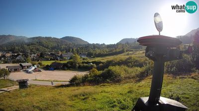
| Rating: | |
| Country: | Slovenia |
| Mountain range: | Julian Alps |
| Trailhead: | Podbrdo (535 m) |
| Destination: | Črna prst (1844 m) |
| Trailhead latitude/longitude: | 46.2138 / 13.9724 |
| Destination latitude/longitude: | 46.2311 / 13.9316 |
| Difficulty: | Easy marked route  |
| Recommended equipment: | Hiking poles Hiking shoes Water |
From Tolmin, we drive to Most na Soči. Here, turn left and follow the road to Bača pri Modreju, where you turn left again toward the village of Podbrdo and follow the road for about 22 km all the way to that village. Park in the parking lot next to the retirement home.
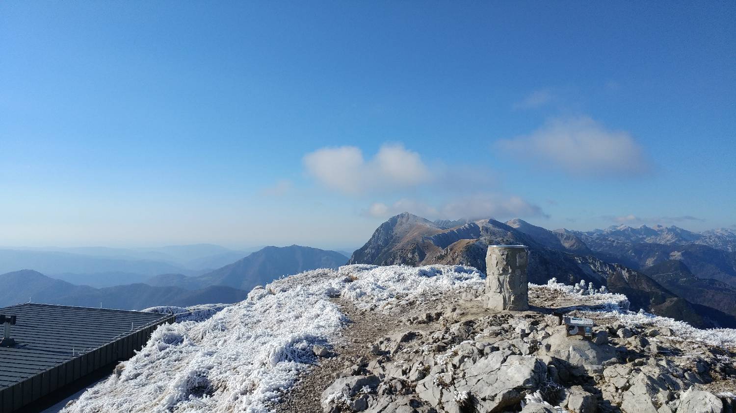
Trail description:We head back on foot along the road we came from. We stay on the road until a gently ascending road branches off to the right toward Trtnik. We continue along the road past a few houses, after which a narrow path branches off to the right toward Črna prst, where a signpost will also direct us. We follow the path past a water trough, and the path soon rejoins the road. Follow the road to the first possible left turn, where you’ll turn left and, after about 10 meters, climb up into the yard of a house. Here, we’ll see a sign for Črna prst, which directs us down the steps next to the house onto a grassy path. Following the steeply ascending path, we climb across the meadow to a small grove; beyond it, we turn slightly to the left and, after a few dozen meters, join a well-maintained forest trail that begins to climb moderately. A longer walk along this trail follows, leading us to the Kalarsko Saddle. Here we turn right and continue to a fork in the trail, where we take the left path. From here on, the trail begins to climb steeply, winding several times along the way. The ascent through the forest takes just under an hour, after which the trail leads us out of the forest. Immediately upon reaching the grassy slope, we’re treated to magnificent views—both toward the valley and the nearby peaks, as well as toward Črna Prst. We continue along the grassy slope all the way to the saddle, where the trail splits again. We turn left and climb about ten meters, at which point an exceptional view of the mountain hut at the summit opens up before us. We continue the ascent for a few more meters, after which the trail levels off and leads us at a moderate pace to the hut. We pass the hut on the left and climb to the summit of Črna prst, which is located just 2 minutes past the hut.
Additional tips:No additional tips.
![[object Object] - [object Object] main photo](https://api.mountainsgeek.com/media/20181117_113425_1OU92zi.jpg)
![[object Object] - [object Object] main photo](https://api.mountainsgeek.com/media/20181117_113015.jpg)


