



Tolminske Ravne - Koča na Planini Razor (General)
Strma pot
1 h 30 min




 Weather
 Nearest webcam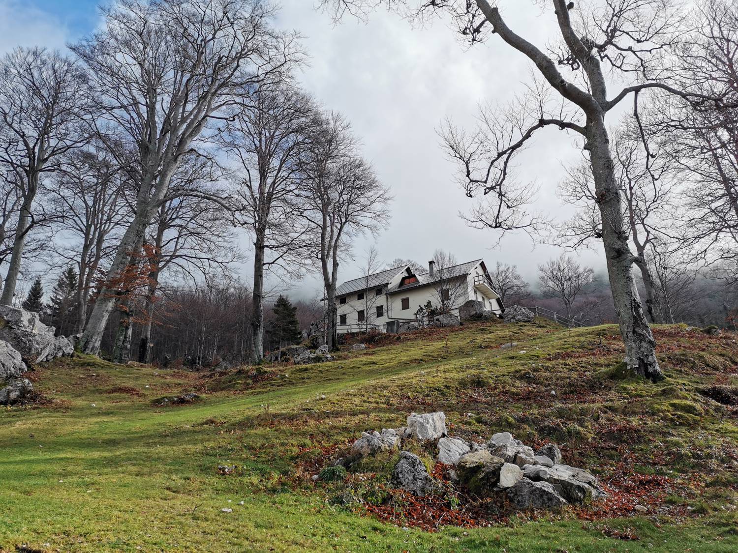
| Rating: | |
| Country: | Slovenia |
| Mountain range: | Julian Alps |
| Trailhead: | Tolminske Ravne (924 m) |
| Destination: | Koča na Planini Razor (1315 m) |
| Trailhead latitude/longitude: | 46.2294 / 13.7715 |
| Destination latitude/longitude: | 46.2357 / 13.7932 |
| Difficulty: | Difficult marked route  |
| Recommended equipment: | Hiking poles Hiking shoes Water |
If you’re coming from Nova Gorica, drive all the way to the town of Tolmin and through it, heading toward Most na Soči. Once you cross the bridge over the Tolminka River, the road takes a sharp right turn. After driving about 200 meters, turn left toward the village of Žabče. Somewhere in the middle of the village, the road forks; take the upper, right-hand path toward Zadlaz. Continue straight ahead (about 15–20 minutes) along a very winding, narrow road. Along the way, you’ll cross the Zadlaščica River. Your destination is the Tolmin Plains, where there’s a marked parking lot. Park here.
Trail description:We walk back along the road we came from, but only as far as the first turnoff to the right, where we turn and, after just a few meters, cross a pasture fence. For the next few hundred meters, we continue along a gentle grassy trail, which leads us to a fork by a rocky wall. We take the right-hand trail, which descends slightly at first, then levels off and leads to a water trough, where there is another fork. Here, we turn left onto a steeply ascending forest trail. The steep ascent lasts another 40 minutes. At first, the trail is simply steep, but in the final section it becomes somewhat more challenging and requires us to use our hands for support. When the trail levels out again, it leads out of the forest onto a meadow, across which the path continues to a cart track. Immediately upon reaching the cart track, turn left and join the concrete road, which quickly leads to the Razor Mountain Hut.
Additional tips:No additional tips.
![[object Object] - [object Object] main photo](https://api.mountainsgeek.com/media/20180610_071753_HDR_7S2ByDK.jpg)
![[object Object] - [object Object] main photo](https://api.mountainsgeek.com/media/IMG_20191110_113930_YuR3X9p.jpg)
![[object Object] - [object Object] main photo](https://api.mountainsgeek.com/media/20180603_110332.jpg)
![[object Object] - [object Object] main photo](https://api.mountainsgeek.com/media/20180603_110228.jpg)
![[object Object] - [object Object] main photo](https://api.mountainsgeek.com/media/IMG_20191110_113930_nQ7Bub8.jpg)


