



Gabrje - Grofova voda (General)
0 h 50 min




 Weather
 Nearest webcam
| Rating: | |
| Country: | Slovenia |
| Mountain range: | Julian Alps |
| Trailhead: | Gabrje (391 m) |
| Destination: | Grofova voda (454 m) |
| Trailhead latitude/longitude: | 46.1991 / 13.7044 |
| Destination latitude/longitude: | 46.2039 / 13.7038 |
| Difficulty: | Easy marked route  |
| Recommended equipment: | Hiking shoes |
From Tolmin, drive to the village of Zatolmin, and just before the Zatolmin restaurant, turn left. Continue along the road that passes through the village of Dolje toward Gabrje. Park along the road just past the Gabrje sign.
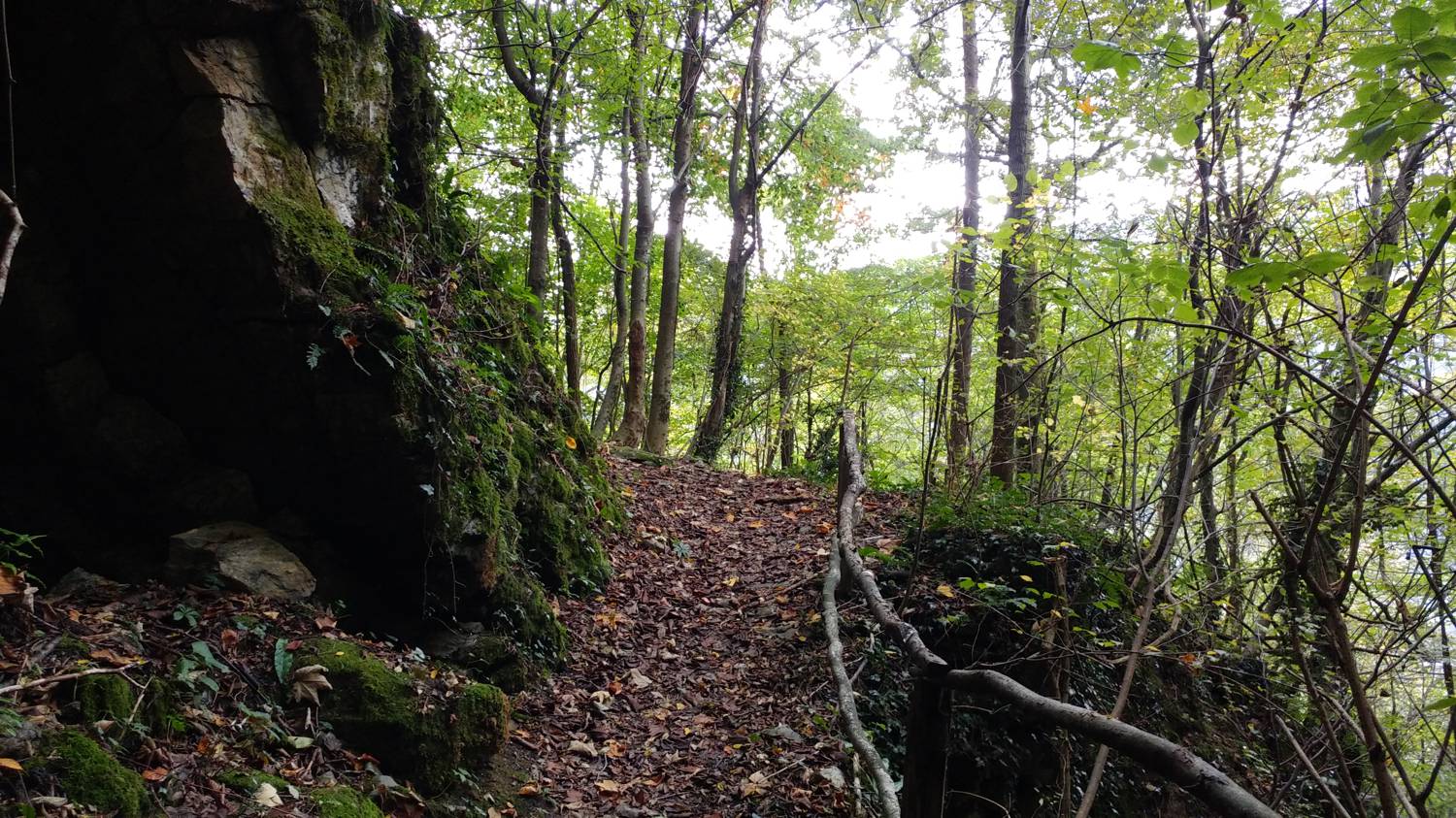
Trail description:We continue on foot into the village, but only as far as the first turnoff to the right, where we turn onto an uphill road that leads past a few houses, then levels off and becomes a dirt road. The dirt road passes a military chapel and a house with an old mill. Immediately past the mill, it crosses a small bridge and turns into a narrow grassy path. The trail leads us to another house, and right next to it are some steps that we climb. Behind the house, we continue along the trail, which climbs moderately into the forest. In the forest, we reach a fork, where we turn right onto a steeply ascending path. After walking along this path for some time, we’ll reach a gravel road. Turn left and follow it uphill to the first major bend, where a narrow trail branches off to the left toward Grofova Voda. Join this trail and follow it for a few minutes to reach your destination.
Additional tips:No additional tips.
![[object Object] - [object Object] main photo](https://api.mountainsgeek.com/media/20190727_082317_HDR.jpg)
![[object Object] - [object Object] main photo](https://api.mountainsgeek.com/media/20190727_085701.jpg)


