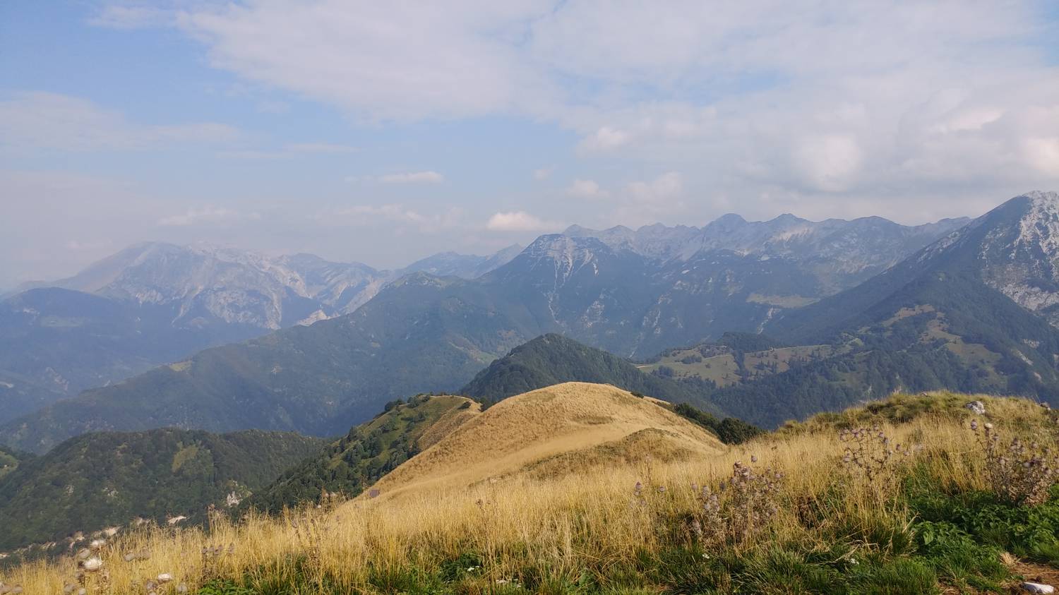
Planina Lom - Kobilja glava (General)
- Hiking time0 h 45 min
- Difficulty: Easy marked route
- Destination:1475 m
- Elevation difference+385 m
Getting to the trailhead:
From Tolmin, we drive toward the village of Poljubin and on toward Ljubinj. In the village of Ljubinj, just past the Church of St. Michael, turn left onto a narrow, winding, uphill road that will take you to the foot of the Stador Mountain Hut after a few minutes’ drive. Continue straight ahead on the gravel road all the way to Planina Lom, where you can park in a designated spot or a few dozen meters along the road before Planina Lom.
Trail description:
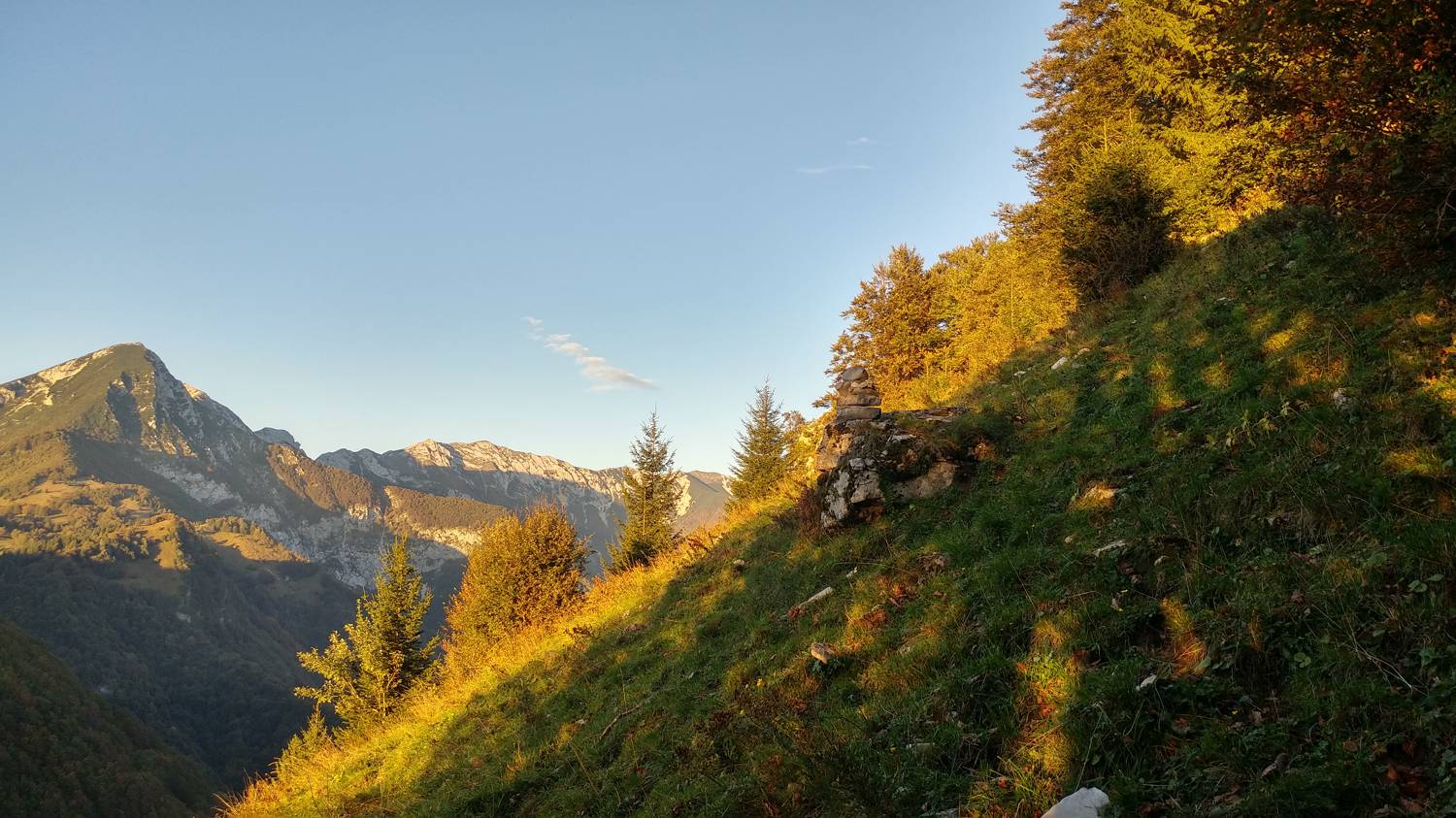
At Planina Lom, just past the first hut on the right, turn right onto an ascending dirt road that quickly leads to the edge of a meadow. Next, ascend across the meadow to its summit, which you’ll recognize by a large rocky outcrop. Just a short distance past the cairn, turn slightly right into the forest. The trail runs through the forest for only a short while before leading back onto the meadow, which immediately begins to climb steeply. After a lengthy ascent, the trail levels off somewhat and leads back into the woods. We follow the trail through the woods and then back onto a grassy ridge, along which our route will continue. Just before the summit, the level path will begin to climb again and lead us to the top in a few minutes.
Additional tips:
No additional tips.
Related trails
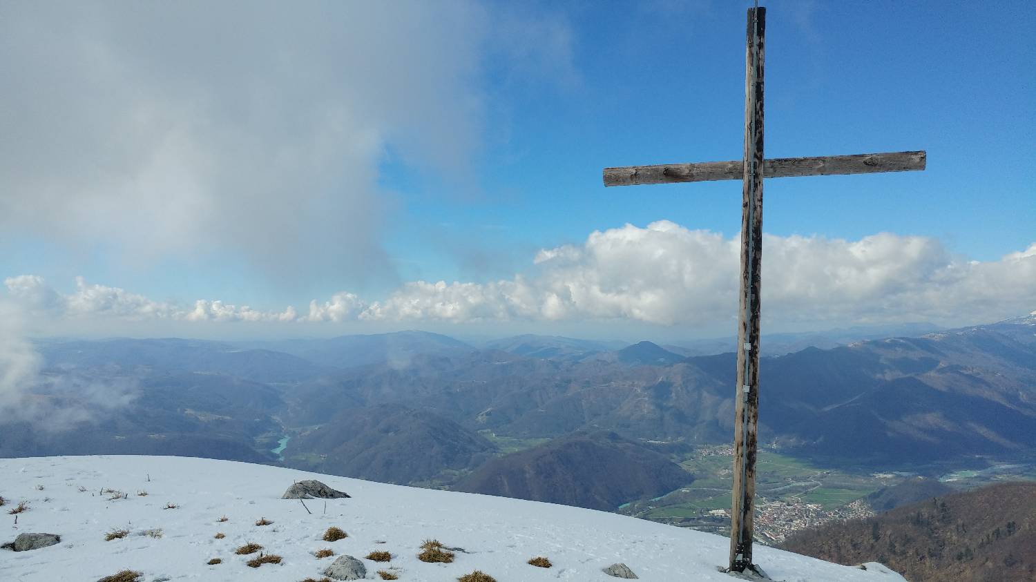
Koča na planini Stador - Kobilja glava
Mimo Chalet AstraMONTANA
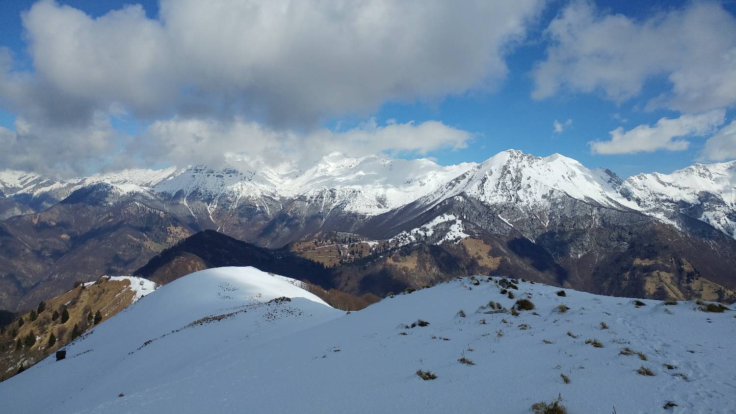
Poljubinske ravne - Kobilja glava