



Cerkev Sv. Petra - Selce (nad Zatolminom) (General)
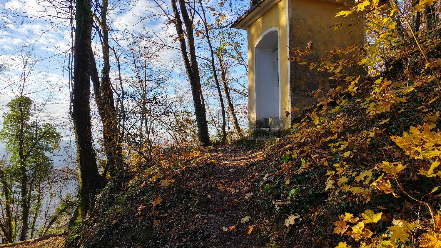
Mimo vojaškega pokopališča
0 h 40 min




 Weather
 Nearest webcam
| Rating: | |
| Country: | Slovenia |
| Mountain range: | Julian Alps |
| Trailhead: | Cerkev Sv. Petra (325 m) |
| Destination: | Selce (nad Zatolminom) (551 m) |
| Trailhead latitude/longitude: | 46.198 / 13.7346 |
| Destination latitude/longitude: | 46.2021 / 13.7338 |
| Difficulty: | Easy unmarked route  |
| Recommended equipment: | Hiking shoes |
Drive to Tolmin and, at the main traffic-light-controlled intersection, turn toward Zatolmin (right if you’re coming from Ljubljana, or left if you’re coming from Nova Gorica). In Zatolmin, stay on the main road leading toward the Tolmin Gorges and Čadrg. Follow this road straight ahead on the flat stretch at first, and then the road begins to wind upward. Follow it all the way to the St. Peter chapel, where you’ll also see a sign for Triglav National Park. There’s a small parking lot by the road here, where you can park.
Trail description:We continue on foot along the cart track that runs right next to the left side of the little church. Shortly after the church, the cart track turns into a narrow forest path, which we follow uphill all the way to the concrete road. A longer walk along the road follows, after which, at a sharp left-hand curve (at the end of the curve), a narrow forest trail branches off to the right, onto which we turn. From there, we’ll follow the steeply ascending forest trail for quite some time; it will lead us to a military cemetery, past which we’ll continue for a few dozen meters to Selce.
Additional tips:No additional tips.
![[object Object] - [object Object] main photo](https://api.mountainsgeek.com/media/20171118_084918_HDR_771MqVA.jpg)


