



Poljance - Mengore (General)
Krajša pot
0 h 25 min




 Weather
 Nearest webcam
| Rating: | |
| Country: | Slovenia |
| Mountain range: | Julian Alps |
| Trailhead: | Poljance (253 m) |
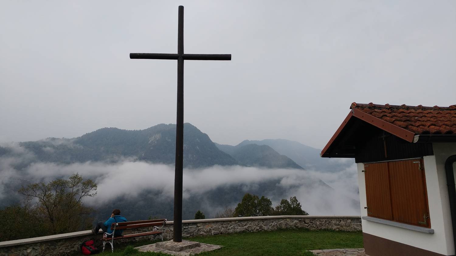
| Destination: | Mengore (453 m) |
| Trailhead latitude/longitude: | 46.1643 / 13.7291 |
| Destination latitude/longitude: | 46.1668 / 13.7218 |
| Difficulty: | Easy marked route  |
| Recommended equipment: | Hiking shoes |
From Tolmin, head toward Most na Soči, and at the intersection there, turn right. Continue across the bridge and then follow the main road toward Kozaršče. However, we don’t drive all the way to Kozaršče; instead, in Poljanca, shortly after Modrejci (just before the road starts to descend), we turn right and park in the parking lot not far from the road.
Trail description:From the parking lot, we walk back a few steps to a large signpost. Here, at the fork, we take the left path, which after a few dozen meters leads us to a narrow forest trail branching off to the right, onto which we turn. The trail then winds through the forest, climbing moderately for most of the way. It passes by caves and tunnels left over from the war. At the fork in the trail, near the aforementioned tunnels, take the steep path that leads to a small meadow, which you’ll cross. The meadow continues into a grassy cart track that leads to the ruins of a few houses; there, turn right onto a narrow path, follow it up a few steps, and cross a narrow concrete road, and then, following the steep trail, we reach the summit in a few minutes.
Additional tips:No additional tips.
![[object Object] - [object Object] main photo](https://api.mountainsgeek.com/media/thumbnail_byUWrAJ.webp)
![[object Object] - [object Object] main photo](https://api.mountainsgeek.com/media/thumbnail_hBfCIn8.webp)
![[object Object] - [object Object] main photo](https://api.mountainsgeek.com/media/thumbnail_KfVNXoy.webp)


