



Rifugio Bruncu Spina - Punta La Marmora (General)
2 h 30 min




 Weather
 Nearest webcam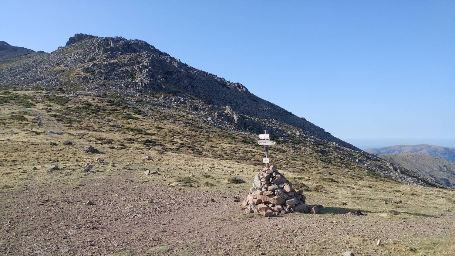
| Rating: | |
| Country: | Italy |
| Mountain range: | Gennargentu |
| Trailhead: | Rifugio Bruncu Spina (1542 m) |
| Destination: | Punta La Marmora (1834 m) |
| Trailhead latitude/longitude: | 40.0234 / 9.3028 |
| Destination latitude/longitude: | 39.9897 / 9.3249 |
| Difficulty: | Easy marked route  |
| Recommended equipment: | Hiking poles Hiking shoes Water |
From Sassari, take the E25 highway heading toward the southern part of the island. Before reaching the town of Birori, merge onto the SS129 toward Nuoro. Here, take the SS389var to the town of Fonni. Continue on the main road, which, after a long drive, will lead you to the parking lot in front of Rifugio Bruncu Spina.
Trail description:From the parking lot, we head onto a narrow path, which is also indicated by a sign pointing toward Bruncu Spina. The grassy path is mostly flat at first, or climbs almost imperceptibly; early on, it also passes through a small grove and a picnic area. We stay on this path for quite some time, all the way to the Arcu Gennargentu saddle. Along the way, we’re treated to beautiful views of the valley and the surrounding peaks. There is only one trail, so it’s impossible to get lost. At the pass, head straight toward Punta La Marmora. The trail begins to climb more steeply, and we continue at this pace for quite some time until the terrain levels out again. All that remains is a short stretch along a level section of the trail, and we’ll reach the summit.
Additional tips:No additional tips.
![[object Object] - [object Object] main photo](https://api.mountainsgeek.com/media/20190911_100402.jpg)
![[object Object] - [object Object] main photo](https://api.mountainsgeek.com/media/20190917_092225_HDR.jpg)


