



Rifugio Bruncu Spina - Bruncu Spina (General)
1 h 0 min




 Weather
 Nearest webcam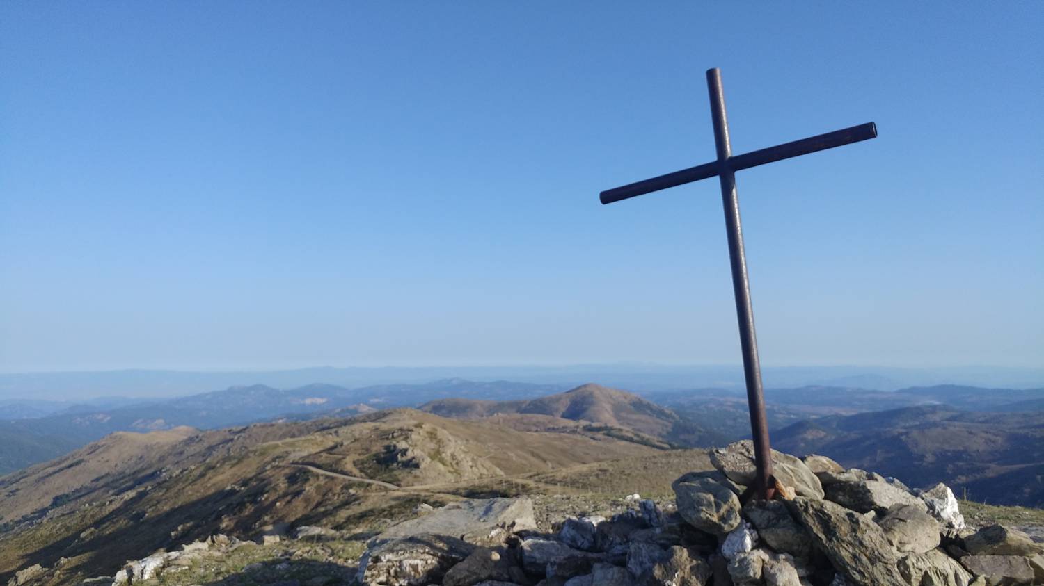
| Rating: | |
| Country: | Italy |
| Mountain range: | |
| Trailhead: | Rifugio Bruncu Spina (1542 m) |
| Destination: | Bruncu Spina (1829 m) |
| Trailhead latitude/longitude: | 40.0234 / 9.3028 |
| Destination latitude/longitude: | 40.0159 / 9.3017 |
| Difficulty: | Easy unmarked route  |
| Recommended equipment: | Hiking shoes |
From Sassari, take the E25 highway heading toward the southern part of the island. Before reaching the village of Birori, merge onto the SS129 toward the city of Nuoro. Here, take the SS389var to the town of Fonni. Continue on the main road, which, after a long drive, will lead you to the parking lot in front of Rifugio Bruncu Spina.
Trail description:We continue on foot past the lower cable car station and turn right immediately after it. We join the gravel road that begins on the left side of the cable car and gradually veers further and further to the left. The trail soon begins to climb steeply and continues at this pace all the way to the upper cable car station, making a few turns along the way. At the upper station, head right toward a small, green-colored building, and from there continue a short distance along a grassy path that soon leads to the summit.
Additional tips:No additional tips.
![[object Object] - [object Object] main photo](https://api.mountainsgeek.com/media/20190917_085009.jpg)


