



Area di Sosta Mercorai Boni - Monte Rasu (General)
Po cesti
1 h 0 min




 Weather
 Nearest webcam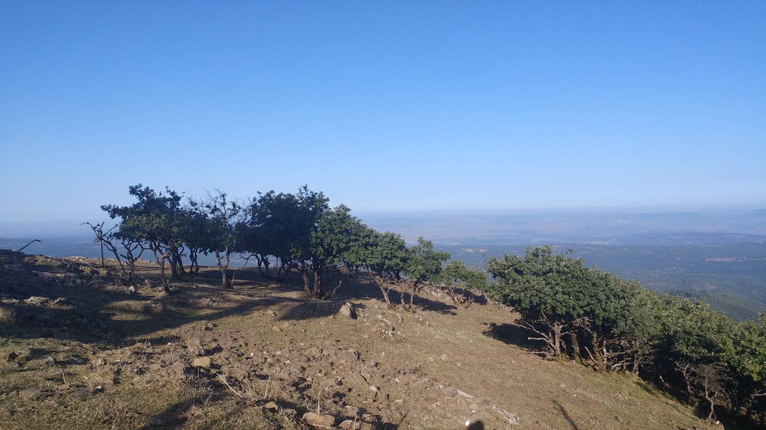
| Rating: | |
| Country: | Italy |
| Mountain range: | |
| Trailhead: | Area di Sosta Mercorai Boni (950 m) |
| Destination: | Monte Rasu (1259 m) |
| Trailhead latitude/longitude: | 40.4255 / 8.9923 |
| Destination latitude/longitude: | 40.4216 / 9.0049 |
| Difficulty: | Easy marked route  |
| Recommended equipment: | Hiking shoes |
From Sassari, take the E25 southbound. After passing the village of Torralba on the left, merge onto the SP21, which you’ll follow for a short while, until you reach a T-junction, where you turn left (onto the SP43) and continue along it to the Mercorai Rest Area. Pay close attention here, as a gravel road will soon branch off to the right—that’s where you’ll need to turn. You’ll recognize it by a small parking lot and several signs. Park here.
Trail description:We continue on foot along the gravel forest road, staying on it until we reach a major fork. Here, we take the left path and continue to strictly follow the main gravel road, which climbs gently. The road then leads out of the forest, and on the left, a view of the summit of Monte Ras opens up. We continue straight ahead on the road, which levels out from here on; eventually, as it turns back into the forest, it even begins to descend. Continue walking to the fork, where you turn left and join the concrete road, following it all the way to the summit.
Additional tips:No additional tips.
![[object Object] - [object Object] main photo](https://api.mountainsgeek.com/media/20190916_090542.jpg)


