



Parkirišče Necropoli Sardinija - Monte Torru (General)
1 h 30 min




 Weather
 Nearest webcam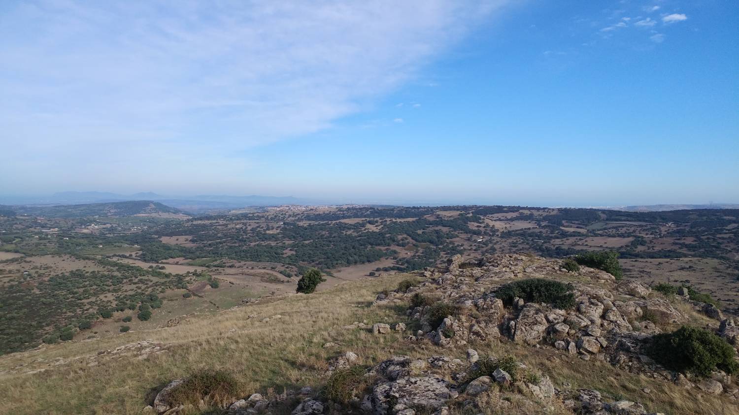
| Rating: | |
| Country: | Italy |
| Mountain range: | |
| Trailhead: | Parkirišče Necropoli Sardinija (450 m) |
| Destination: | Monte Torru (622 m) |
| Trailhead latitude/longitude: | 40.5609 / 8.6297 |
| Destination latitude/longitude: | 40.5544 / 8.6135 |
| Difficulty: | Easy unmarked route  |
| Recommended equipment: | Hiking shoes |
From Sassari, take the SP15 road toward the south. We pass through the village of Ittiri and continue on the SS131bis for a good 10 minutes, until a narrow, poorly maintained gravel road branches off to the right at a sharp curve; we turn onto it. After a few minutes’ drive, the road leads to the Necropoli parking lot, where we park.
Trail description:We continue on foot through a large iron gate, and immediately afterward follow a poorly defined dirt path that leads us past a stone wall on the left. From here on, the path gradually fades away, and we continue walking across the grass. We cross a meadow, at the end of which there is a fence that we climb over. Behind the fence, we walk a few dozen meters across the grass, and then the trail leads us into a small forest, where it becomes slightly more visible. After passing through the grove, you’ll notice several large rocks on your right, along with a stone cairn. Cross the rocks and follow the grassy path slightly downhill. When we reach a larger water trough, we head slightly to the right, where the trail leads us across a meadow. We continue across the meadow for a while, then quickly ascend through a short stretch of woods. When the grove ends, we emerge once again onto a vast grassy plain, across which we continue straight ahead to a large rock formation. Here we turn left, and in the distance, a view of Monte Torru opens up before us. We continue along the trail, which is initially still level but then begins to descend. We head down toward a wooden signpost, which directs us straight toward some interesting volcanic formations. At the corner of the formations, you’ll notice a possible route up the rock face, which you’ll take. From here on, the trail continues across a gentle grassy slope, with a view of the summit ahead the entire time. The final ascent comes just before the end of the hike, when we climb to the rocky summit, which offers a magnificent view.
Additional tips:No additional tips.


