



Zgornji Goreljek - Javorov vrh (Pokljuka) (General)
1 h 40 min




 Weather
 Nearest webcam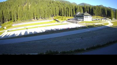

| Rating: | |
| Country: | Slovenia |
| Mountain range: | Julian Alps |
| Trailhead: | Zgornji Goreljek (1279 m) |
| Destination: | Javorov vrh (Pokljuka) (1482 m) |
| Trailhead latitude/longitude: | 46.3325 / 13.9717 |
| Destination latitude/longitude: | 46.3239 / 13.9509 |
| Difficulty: | Easy marked route  |
| Recommended equipment: | Water |
Leave the Gorenjska motorway (from Ljubljana) at the Lesce exit and follow the road in the direction of Bled, where the signs for Pokljuka direct you to the right at a semaphorised junction. Follow the road in the direction of the Sport Hotel in Pokljuka. At the crossroads near the hotel, turn slightly left and continue towards the Goreljek mountain and the Jelka ski lift. Park in the parking lot by the signs.
Trail description:From the car park, continue along the road descending towards the Goreljek mountain. After about 15 minutes of walking, you will come to a marked crossroads, where you continue to the right in the direction of the Zajamniki mountain. Continue along the forest road, which leads into the forest and slowly climbs. Signs for Javorov vrh direct us to the right on an initially wide footpath. The path then slowly climbs, then lays down and leads us into a belt of sparse forest. Follow the signs all the way to the overgrown Javor's Peak.
Additional tips:No additional tips.


