



Spodnja postaja žičnice El Teide - El Teide (General)
4 h 0 min




 Weather
 Nearest webcam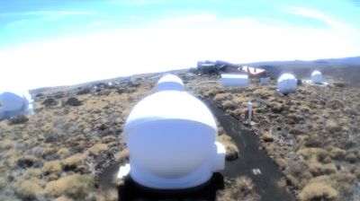

| Rating: | |
| Country: | Spain |
| Mountain range: | Tenerife |
| Trailhead: | Spodnja postaja žičnice El Teide (2000 m) |
| Destination: | El Teide (3718 m) |
| Trailhead latitude/longitude: | 28.2549 / -16.6218 |
| Destination latitude/longitude: | 28.2727 / -16.6424 |
| Difficulty: | Difficult marked route  |
| Recommended equipment: | Hiking poles Hiking shoes Water Snack |
On Tenerife, leave from Costa Adeje and follow the signs for the motorway. We join the motorway at the De los Pueblos junction. Leave the motorway at the Adeje exit. Immediately after the exit, turn left and follow the signs for Arona, then La Escalona, Travejos and Vilaflor. Then follow the signs for Teide National Park. On the side of the road you will see a car park.
Trail description:From the car park, continue along the road. Walk for 30 minutes until you reach the car park and the turn-off for El Teide (on the left). Continue on the marked path, keeping to the left. When you reach Mirador de Fortaleza, go left and then follow the signposted path to the top.
Additional tips:Use of gondola to the top.


