



Rifugio sa crista - Punta La Marmora (General)
2 h 30 min




 Weather
 Nearest webcam
| Rating: | |
| Country: | Italy |
| Mountain range: | Gennargentu |
| Trailhead: | Rifugio sa crista (1510 m) |
| Destination: | Punta La Marmora (1834 m) |
| Trailhead latitude/longitude: | 40.0189 / 9.2785 |
| Destination latitude/longitude: | 39.9897 / 9.3249 |
| Difficulty: | Easy marked route  |
| Recommended equipment: | Hiking shoes Water |
From Cagliari, follow the SS128 northwards. Passing More Corraxe, Monastir, Seuni, Mandas, Isili. After the last mentioned village, a road will soon turn off to the right (sign for colonia penale 7), where you turn and continue on the SS295, which will lead you to the shelter after a long drive.
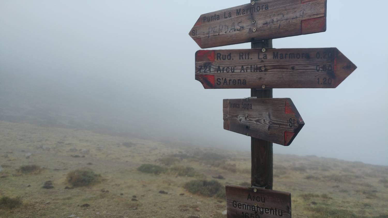
Trail description:Continue on foot along the dirt road that leads to the right by the shelter (keep following the signs for Arcu Gennargentu). Continue along the road for a longer distance, which climbs moderately throughout. Eventually the dirt road is replaced by a narrower path which climbs steeply to a large marked crossroads. Continue on the path leading to Arco Gennargento. There is a long walk over fairly level terrain, with short ascents and descents in between, all the time accompanied by signposts and markings. Eventually, the path leads to a major fork, or rather to the Arcu Gennargentu saddle. From here, we continue on the grassy path leading to Punta La Marmora. The path begins to climb steeply and we continue at this pace for a considerable time until the terrain levels out again. There is only a short stretch on the sloping part of the path and you will reach the top.
Additional tips:No additional tips.
![[object Object] - [object Object] main photo](https://api.mountainsgeek.com/media/20190917_092225_HDR.jpg)
![[object Object] - [object Object] main photo](https://api.mountainsgeek.com/media/20190917_093009.jpg)


