



Plužna - Slap Virje (General)
0 h 20 min




 Weather
 Nearest webcam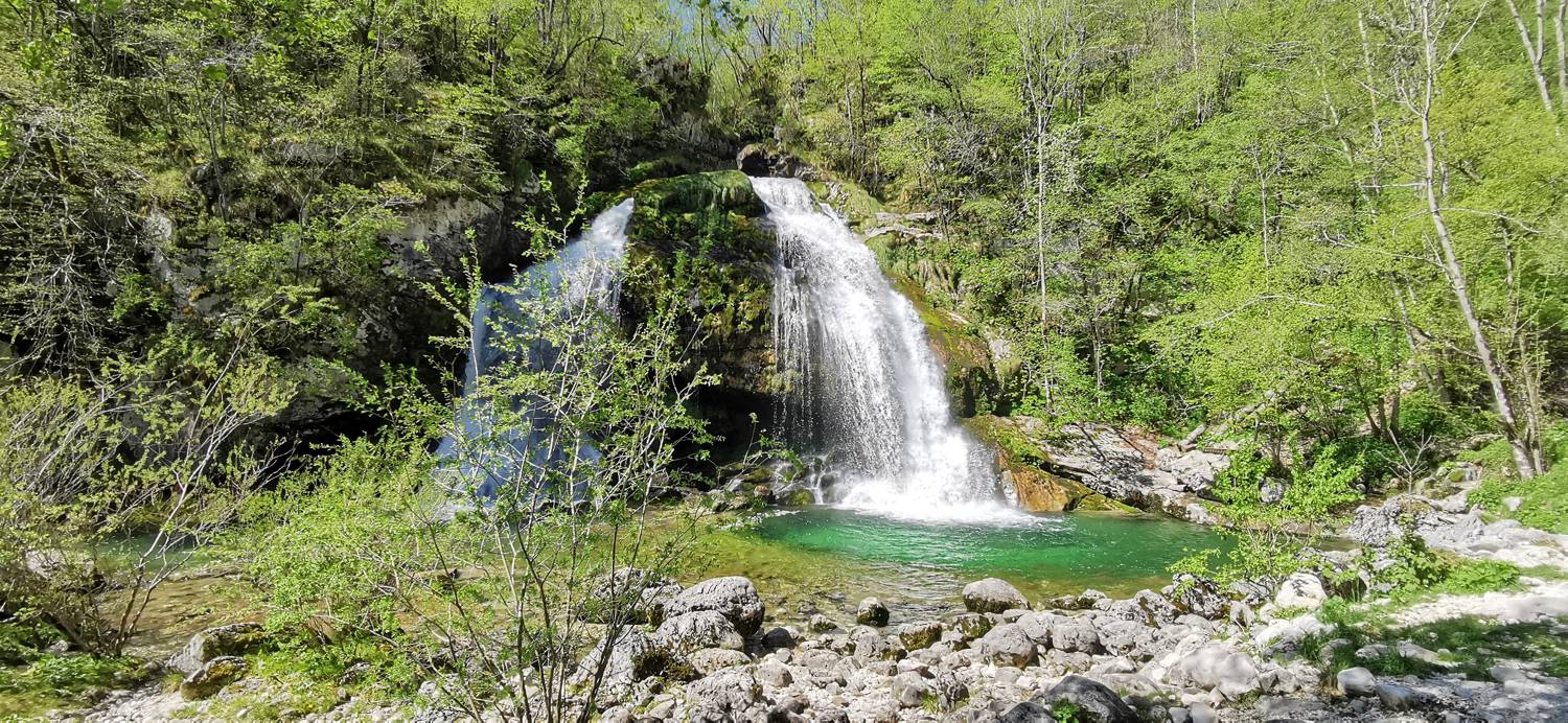
| Rating: | |
| Country: | Slovenia |
| Mountain range: | Julian Alps |
| Trailhead: | Plužna (452 m) |
| Destination: | Slap Virje (400 m) |
| Trailhead latitude/longitude: | 46.3355 / 13.5129 |
| Destination latitude/longitude: | 46.3351 / 13.5142 |
| Difficulty: | Easy marked route  |
| Recommended equipment: | Water |
From Kobarid, drive towards Bovec. But only as far as the village of Podklopca, where you turn left towards the Bovec Golf Club. Drive through the village and then arrive in the village of Plužna. Go through the village and turn left down the hill and park in a suitable place.
Trail description:From the car park, follow the signs for the Virje waterfall (left). After about 20 minutes, you will reach the waterfall.
Additional tips:No additional tips.
![[object Object] - [object Object] main photo](https://api.mountainsgeek.com/media/IMG_20210509_110318_OVkMjrM.jpg)
![[object Object] - [object Object] main photo](https://api.mountainsgeek.com/media/IMG_20200628_105405.jpg)


