



Agriturismo Arcuentu - Monte Arcuentu (General)
2 h 0 min




 Weather
 Nearest webcam
| Rating: | |
| Country: | Italy |
| Mountain range: | |
| Trailhead: | Agriturismo Arcuentu (294 m) |
| Destination: | Monte Arcuentu (785 m) |
| Trailhead latitude/longitude: | 39.5824 / 8.5351 |
| Destination latitude/longitude: | 39.5972 / 8.5461 |
| Difficulty: | Easy unmarked route  |
| Recommended equipment: | Hiking shoes Water |
From Cagliari, we head towards the small village of Montevecchio. From here, we continue past the old mine and along the ascending road leading to Marina di Arbus. We have only gone about halfway along the road when a dirt road forks off to the right towards Agriturismo Arcuentu (look out for the fork when Arcuentu appears to be just above us), which is also indicated by a faint sign. Turn onto the macadam road and follow it for a few metres until you reach a small parking area in front of the farm, where you park.
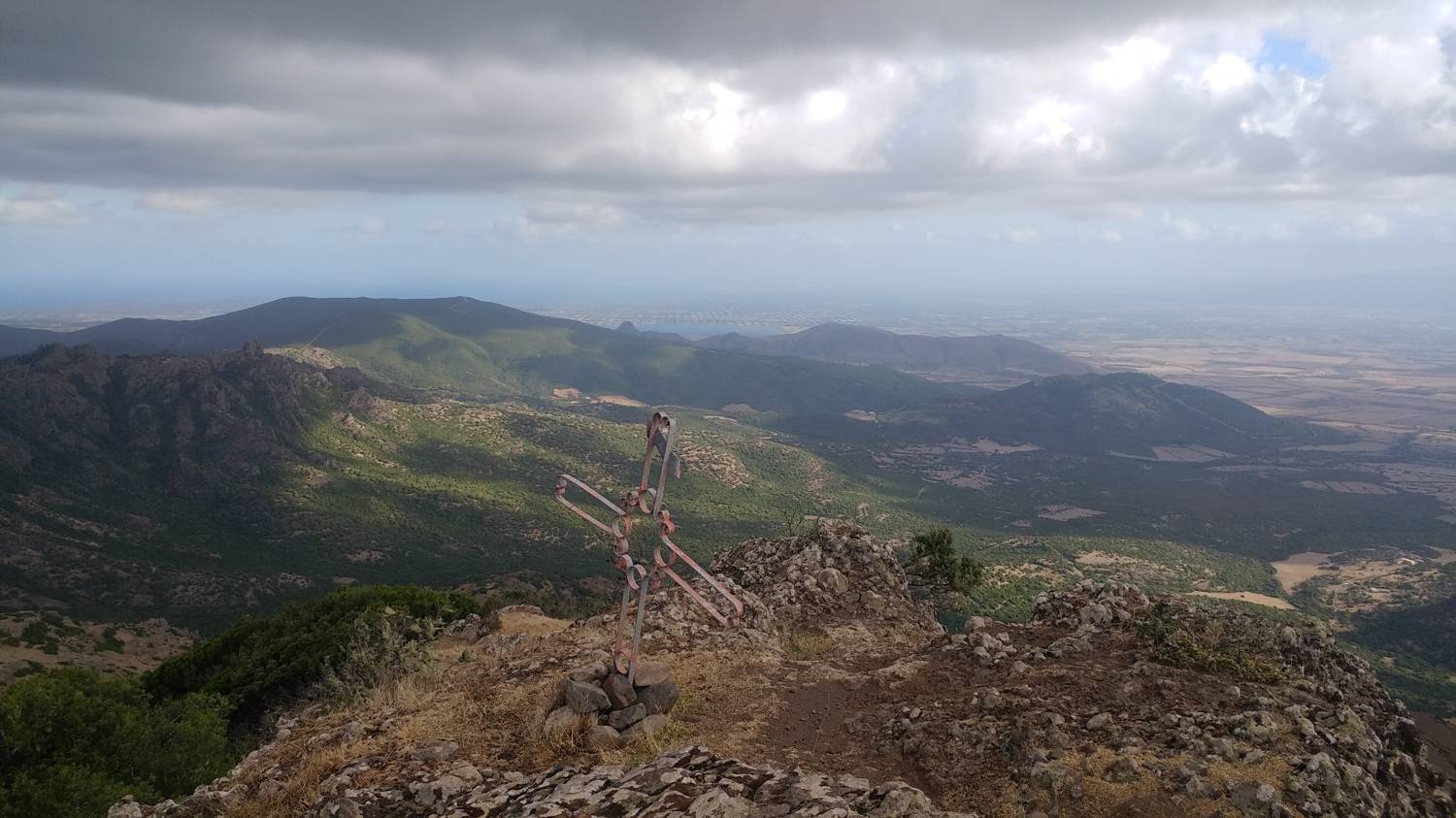
Trail description:From the car park, continue through a narrow green gate onto a grassy path. Cross the meadow and you will come to a terrain covered with heather. Continue on the path through the heather, all the while enjoying the view of Monte Arcuentu. From the heath, the path leads back to the meadow, which is steeply ascending for a longer time. In between, we join another marked path. We continue our ascending pace for some time, passing through the wooden gates that separate the grazing areas. Continue climbing up the grassy path for a few minutes, after which the terrain becomes rocky. A slightly more difficult area follows, where we have to use our hands a few times. After the more difficult part, the rocks and rubble are again replaced by a grass track, which also becomes a bit more difficult. From here, the path leads into the forest, which you follow to the top. Just before the summit, a shelter and a few monuments are set up in the forest, but the summit is only a few metres away and offers a beautiful view.
Additional tips:No additional tips.


