



Villasalto - Belvedere (General)
0 h 15 min




 Weather
 Nearest webcam
| Rating: | |
| Country: | Italy |
| Mountain range: | |
| Trailhead: | Villasalto (502 m) |
| Destination: | Belvedere (525 m) |
| Trailhead latitude/longitude: | 39.495 / 9.3977 |
| Destination latitude/longitude: | 39.4991 / 9.401 |
| Difficulty: | Easy marked route  |
| Recommended equipment: |
From Cagliari, take the SS387 north. Pass Dolianova and San Nicolo Gerrei and head towards Villasalto. Pass through the village until you reach the roadside cemetery, which you will see on your left. Park in a suitable place next to the cemetery.
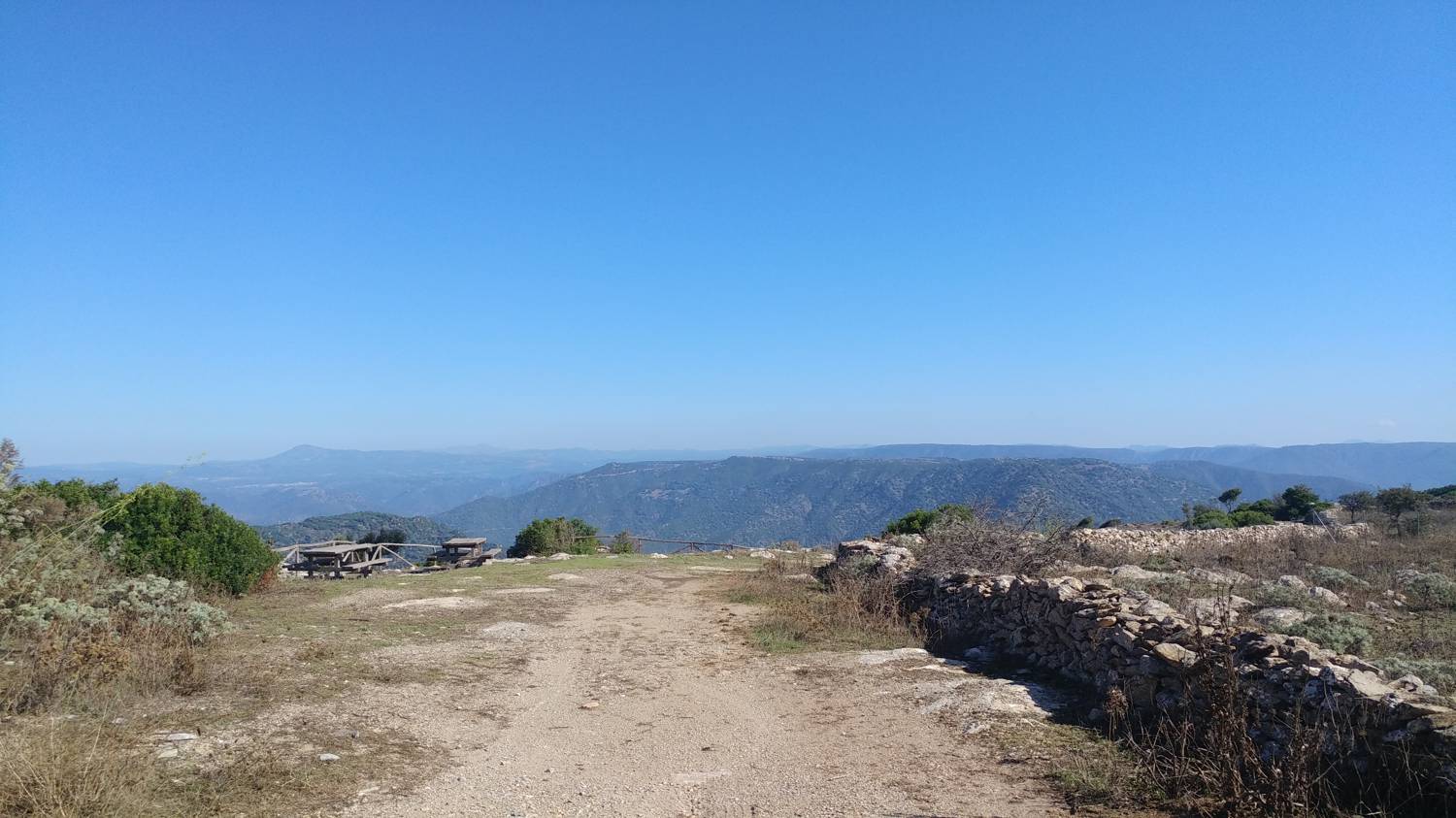
Trail description:From the car park, follow the road leading past the cemetery, which is also signposted to Belevedere. After a short walk, you will see steps on your right, which you can climb. After this, continue walking along the ascending road, which will lead you to a small farm on your left. Here the terrain levels out. For the next few minutes we continue along the road, which becomes gravel, until we reach our destination, which we will recognise by its antennae and tables with benches.
Additional tips:No additional tips.


