



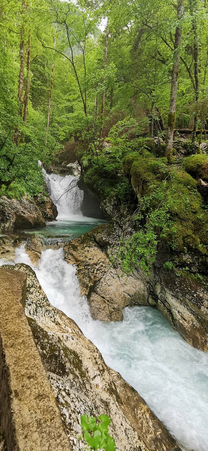
Šunikov vodni gaj - Šunikov vodni gaj (General)
krožna pot
0 h 30 min




 Weather
 Nearest webcam
| Rating: | |
| Country: | Slovenia |
| Mountain range: | Julian Alps |
| Trailhead: | Šunikov vodni gaj (520 m) |
| Destination: | Šunikov vodni gaj (520 m) |
| Trailhead latitude/longitude: | 46.3127 / 13.658 |
| Destination latitude/longitude: | 46.3127 / 13.658 |
| Difficulty: | Easy marked route  |
| Recommended equipment: | Water |
From Bovec, drive towards the Lepena valley. When you reach the village of Soča, the road turns right into Lepena. Follow the road to the car park at Šunik's water grove.
Trail description:From the car park, follow the signposted forest path. Follow the signs for Šunik's Water Grove and after 30 minutes you will arrive back at the trailhead.
Additional tips:No additional tips.


