



Zadnjica - Belopotoški slap (General)
0 h 30 min




 Weather
 Nearest webcam
| Rating: | |
| Country: | Slovenia |
| Mountain range: | Julian Alps |
| Trailhead: | Zadnjica (650 m) |
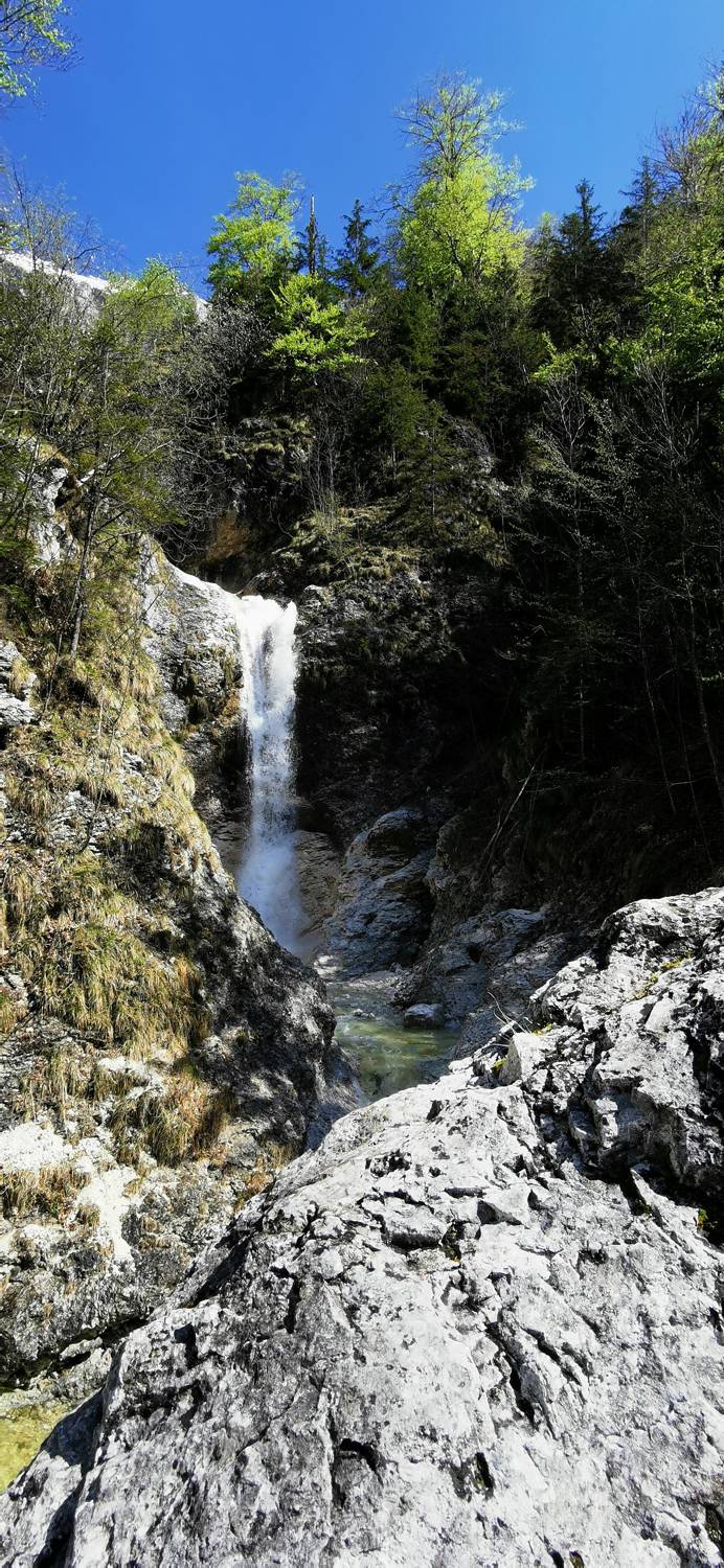
| Destination: | Belopotoški slap (720 m) |
| Trailhead latitude/longitude: | 46.3824 / 13.76 |
| Destination latitude/longitude: | 46.3835 / 13.7811 |
| Difficulty: | Easy unmarked route  |
| Recommended equipment: | Water |
From Kranjska Gora, we drive over the Vršič Pass. Then descend until you see the sign for Zadnjica. Then turn left and drive another 500 m to the parking lot, where you park.
Trail description:From the car park, follow the road towards Pogačnik's home at Kriški podi (left). When you reach the signpost, continue following the signs to the house on Kriških podi (left up the hill). When you reach the top of the hill just below the cable car, continue right along the forest track and you will soon see the Belopotoški waterfall.
Additional tips:No additional tips.


