



Sela nad Podmelcem - Kobilja glava (General)
Čez Jalovnik
1 h 45 min




 Weather
 Nearest webcam
| Rating: | |
| Country: | Slovenia |
| Mountain range: | Julian Alps |
| Trailhead: | Sela nad Podmelcem (830 m) |
| Destination: | Kobilja glava (1475 m) |
| Trailhead latitude/longitude: | 46.1767 / 13.8155 |
| Destination latitude/longitude: | 46.1902 / 13.7954 |
| Difficulty: | Easy marked route  |
| Recommended equipment: | Hiking poles Hiking shoes Water |
From Tolmin, drive to Poljubinj, and from here continue along the main road to Ljubinje. In the village, shortly after the Church of St. Michael, turn left, immediately afterwards turn right, then continue along the road, which turns sharply twice (180 degrees). At the second bend, you will come to a fork in the path, where you turn right and then follow the road for a longer distance, until you reach the village of Sela nad Podmelcem. As soon as you arrive in the village, you will see a parking place on the right side of the road.
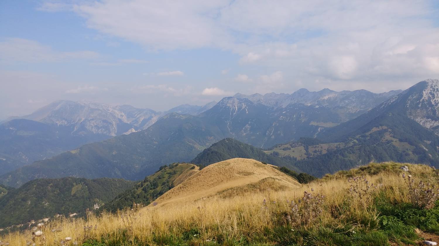
Trail description:On foot, cross the road to the macadam track, where you will also find a sign for Jalovnik. Continue along the track for a few minutes, but it soon splits. Take the left path, which soon starts to climb moderately. Follow the track only as far as the bend, where you will notice a larger signpost for Jalovnik, which directs you left onto a narrow forest track (continue along the track to the right for Planina Razor). This is followed by a longer walk through the forest, along a path that climbs steeply all the way. Most of the trail is through the forest, only towards the end of the ascent to Jalovnik the forest is replaced by grassland, and from here you can already see towards Jalovnik. A short climb along a grassy track will take you to Jalovnik, from where you continue towards Kobilja glava, which can already be seen in the distance. First we descend a little, then we make one last climb and we reach our destination.
Additional tips:No additional tips.
![[object Object] - [object Object] main photo](https://api.mountainsgeek.com/media/20180402_111854.jpg)
![[object Object] - [object Object] main photo](https://api.mountainsgeek.com/media/20180402_111736_yWglE8t.jpg)
![[object Object] - [object Object] main photo](https://api.mountainsgeek.com/media/20191008_173322.jpg)
![[object Object] - [object Object] main photo](https://api.mountainsgeek.com/media/20191008_180326_HDR.jpg)
![[object Object] - [object Object] main photo](https://api.mountainsgeek.com/media/20191003_172046.jpg)
![[object Object] - [object Object] main photo](https://api.mountainsgeek.com/media/20190831_094826_pGqDJkB.jpg)
![[object Object] - [object Object] main photo](https://api.mountainsgeek.com/media/20180402_111640_WtDMeiF.jpg)


