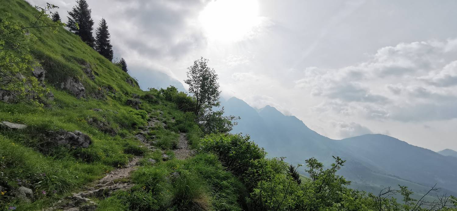
Planina Kuhinja - Batognica (General)
čez Krn
- Hiking time4 h 0 min
- Difficulty: Easy marked route
- Destination:2164 m
- Elevation difference+1173 m
Getting to the trailhead:
From Tolmin, drive towards Kobarid. In the village of Ladra, turn right towards the village of Smast. Continue through Libušnje and Vrsno. In the village of Krn turn left towards Planina Kuhinja. There is a parking lot here.
Trail description:
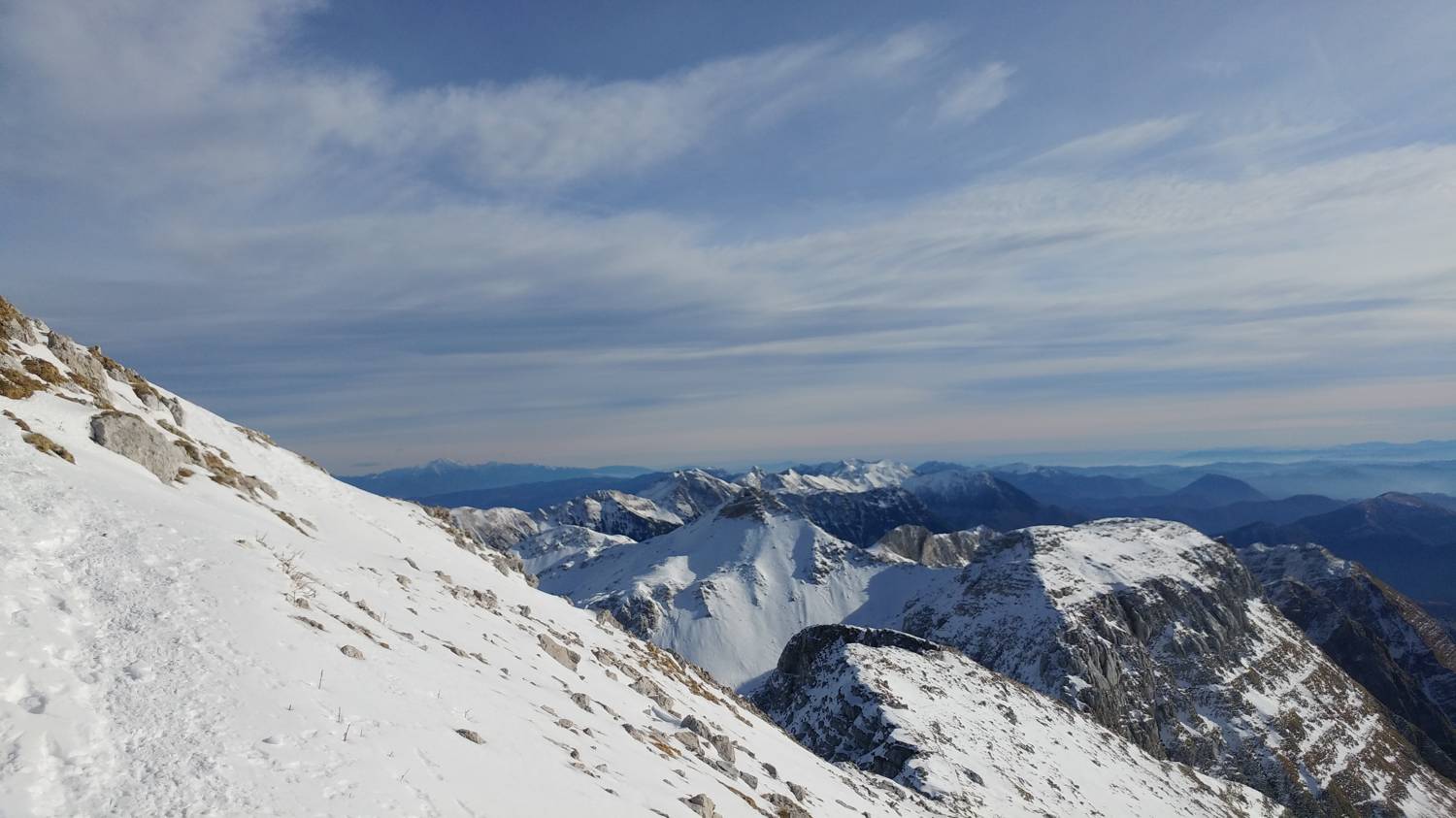
From the car park, take the right (upper) road towards Krno. Walk along the path past the farm and continue the ascent along the folding path in the direction of Krno. The path climbs steeply through grassy fields, which are barred by grazing fences. After about two hours, the winding path leads to the Gomiščko shelter in Krno. Towards the top, the path is increasingly rocky, but well maintained and wide enough. From the Gomiščko shelter, continue in the direction of Krno and after a 10-minute walk you will reach the summit. Continue along the ridge of Krno (right) and soon start descending into the valley. When you reach the valley, there is a sign pointing you towards Batognica. After about 20 minutes of ascent, we reach the top.
Additional tips:
No additional tips.
Related trails