



Tivoli - Rožnik (Cankarjev vrh) (General)
Mimo gostilne Čad
0 h 45 min




 Weather
 Nearest webcam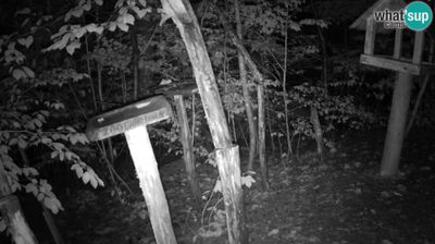

| Rating: | |
| Country: | Slovenia |
| Mountain range: | The Polhograj Hills and Ljubljana |
| Trailhead: | Tivoli (367 m) |
| Destination: | Rožnik (Cankarjev vrh) (394 m) |
| Trailhead latitude/longitude: | 46.059 / 14.4982 |
| Destination latitude/longitude: | 46.0556 / 14.4769 |
| Difficulty: | Easy marked route  |
| Recommended equipment: | Water |
The easiest way to get to the Tivoli car park is to take the Celovška Road from the Ljubljana Bypass towards the centre of Ljubljana.
Trail description:From the Tivoli car park, follow the path leading into the park. Right at the first fork, keep right and follow the path through the avenue, which cools you down with pleasant shade on hot days. At the next crossroads, you will come to a signpost and we continue straight ahead towards the valley of the Rose Valley. There are educational boards and a bird feeder along the way. This area is called Tičistan. If you are lucky, you can observe various birds, and a squirrel called Muki may also come squawking out of a tree. Continue straight past Tičistan, past the fountain and the dogs, and keep on the path until a new path joins from the left. Keep right on the macadam path, which leads you onwards in the shade of the trees to the Čad Inn. Keep left at both forks. Walk past the "Beetle" bench and the Lili Novy villa until you reach the inn. Continue straight on past the little horses, where the road begins to climb slightly. At "Ježušček" turn right over the hill to the church or along the side of the hill directly to the Rožnik Inn.
Additional tips:No additional tips.
![[object Object] - [object Object] main photo](https://api.mountainsgeek.com/media/27_PNzXhug.jpg)


