



Dolina Kot - Visoka Vrbanova Špica (General)
4 h 30 min




 Weather
 Nearest webcam
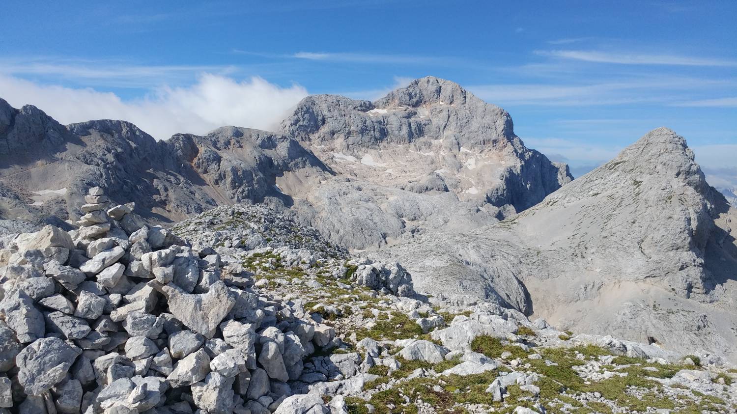
| Rating: | |
| Country: | Slovenia |
| Mountain range: | Julian Alps |
| Trailhead: | Dolina Kot (950 m) |
| Destination: | Visoka Vrbanova Špica (2408 m) |
| Trailhead latitude/longitude: | 46.4156 / 13.8976 |
| Destination latitude/longitude: | 46.3916 / 13.8622 |
| Difficulty: | Difficult marked route  |
| Recommended equipment: | Hiking poles Hiking shoes Water Snack |
From Ljubljana, follow the motorway towards Gorenjska. Leave the motorway at the Jesenice East exit and immediately afterwards turn right towards Javornik. Continue along the road that crosses the Sava River and leads to a major T-junction in Slovenske Javornik. Turn left and continue straight on through Jesenice and Hrušica. After Hrušica, the road will soon lead us to a fork where we turn left towards Mojstrana. In Mojstrana, look out for the signs for Bled and Krma, which will direct you to the left, onto a narrow road. We join the road and follow it for a longer time, during which we pay attention to a relatively hidden signpost on a wooden pillar, which will direct us to the right on a macadam road, which will take us after about 15 minutes to a parking lot, where we park.
Trail description:Continue on foot along the narrow path that continues from the car park. The path is initially level, but soon begins to climb steeply through the forest. It soon becomes more difficult in some parts, and there are stiles to help you continue. The forest gives way to heathland and a beautiful view of the high mountains opens up. Continue along the trail, which climbs steeply all the time, with less and less scrub, and the terrain becomes rocky and rugged. There is a longer ascent along a winding path, during which the path splits only once. Keep to the left, which leads to Stanič's home. Shortly after the fork, the path lays down and leads us past thick rocks, then begins to climb again to another fork. Again, take the path that leads to Stanič's home, which is only 45 minutes away. The path is also rocky and rough in this part, but it is slightly less steep. When you reach Stanič's home, look for the path behind the cottage, which is also signposted. The last 30-minute climb will take you to the top.
Additional tips:No additional tips.


