



Koča pri Peričniku - Slap Peričnik (General)
0 h 15 min




 Weather
 Nearest webcam
| Rating: | |
| Country: | Slovenia |
| Mountain range: | Julian Alps |
| Trailhead: | Koča pri Peričniku (746 m) |
| Destination: | Slap Peričnik (795 m) |
| Trailhead latitude/longitude: | 46.4386 / 13.8963 |
| Destination latitude/longitude: | 46.4392 / 13.8936 |
| Difficulty: | Easy marked route  |
| Recommended equipment: | Water |
From Ljubljana, we take the Gorenjska Highway. Leave the motorway at the Jesenice West, Trbiž, Kranjska gora and Hrušica exit. Then drive in the direction of Kranjska Gora. Pass through the village of Dovje, then turn left in the direction of Mojstrana and Vrat. Follow the Triglavska cesta to the car park at the Peričnik waterfall. There is a charge for parking.
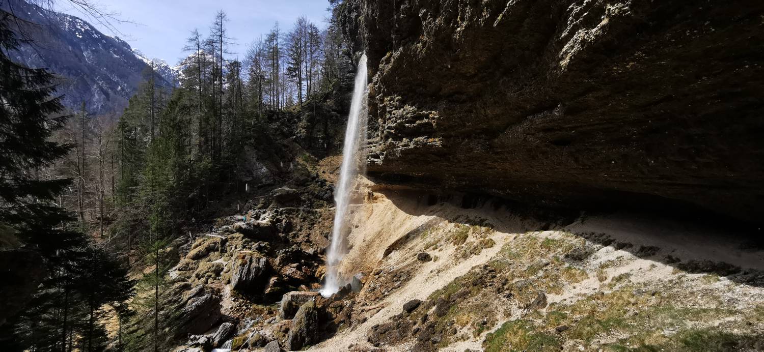
Trail description:From the car park, follow the footpath up the left-hand side. The path climbs steeply through the forest and, after about 10 minutes' walk, leads to the viewpoint of the lower Peričnik waterfall. If you wish, you can walk behind the waterfall. To get to the upper waterfall, first walk back a few metres from the viewpoint, then follow the signs for the upper waterfall. The path climbs steeply and soon you reach the viewpoint of the upper waterfall.
Additional tips:No additional tips.


