



Planina pri Sevnici - Veliki Javornik (Bohor) (General)
1 h 45 min




 Weather
 Nearest webcam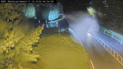

| Rating: | |
| Country: | Slovenia |
| Mountain range: | The Zasavje-Posavje Hills and the Dolenjska Region |
| Trailhead: | Planina pri Sevnici (532 m) |
| Destination: | Veliki Javornik (Bohor) (1023 m) |
| Trailhead latitude/longitude: | 46.1043 / 15.4047 |
| Destination latitude/longitude: | 46.0681 / 15.4286 |
| Difficulty: | Easy marked route  |
| Recommended equipment: | Hiking poles Hiking shoes Water |
From Krško, we drive towards Sevnica. Once in Sevnica, continue towards Boštanj and Planina pri Sevnici at the roundabout. Also at the next roundabout. Drive along the Sevnica river until you reach the village of Vejice. Continue towards Planina pri Sevnici. Then you will see a bus stop on your left. There is a sign for Bohor next to the bus stop. Park nearby.
Trail description:Continue on foot along the path towards Bohorje. Walk past a few houses and then into the forest. Follow the trail signs and walk along the stream. Soon the path leads to the left into the forest. Continue up the steep path and soon you will come out of the forest to a homestead. Continue along the path towards Bohorje. Soon you come to a sharp bend. Continue to the left. The path climbs again and soon you come to a crossroads. Going straight ahead, you will reach the hut on Bohorje, and to the right, a marked path leads to Veliki Javornik. There is a bit of a climb and soon you will reach Veliki Javornik.
Additional tips:No additional tips.


