



Dolje - Grofova voda (General)
0 h 30 min




 Weather
 Nearest webcam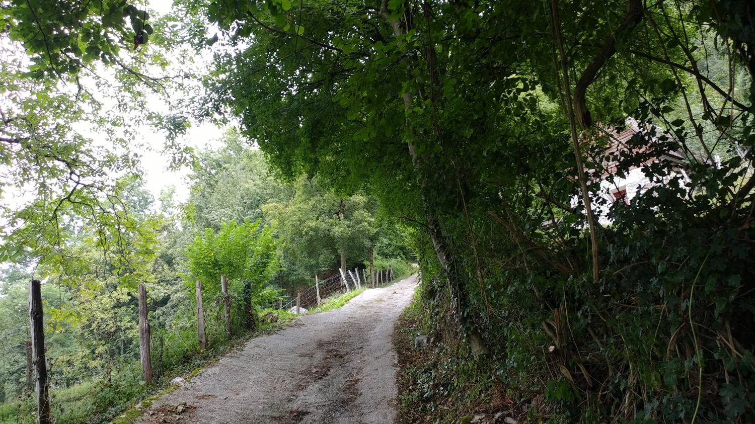
| Rating: | |
| Country: | Slovenia |
| Mountain range: | Julian Alps |
| Trailhead: | Dolje (209 m) |
| Destination: | Grofova voda (454 m) |
| Trailhead latitude/longitude: | 46.1942 / 13.7145 |
| Destination latitude/longitude: | 46.2039 / 13.7038 |
| Difficulty: | Easy marked route  |
| Recommended equipment: | Hiking shoes |
From Nova Gorica, head towards Tolmin. In the town, turn left at the traffic lights towards Zatolmin. In the village, just after the inn on your left, turn left at the fork. Continue along the road until you reach Dolj, when you will see a playground on your left and a parking lot next to it, where you park.
Trail description:Continue on foot along the road, but only as far as the first fork to the right, where you turn. Continue along the road into the village, but only as far as the concrete road forks off to the right. Turn onto a narrower road and follow it up to the first sign for Grofovo Voda. The road leads past the cottage into the woods, onto a dirt road, which we follow until a narrow path forks off to the left at one of the bends, which we join. We then climb up the path and cross a small bridge to reach our destination.
Additional tips:No additional tips.
![[object Object] - [object Object] main photo](https://api.mountainsgeek.com/media/20190727_082317_HDR.jpg)
![[object Object] - [object Object] main photo](https://api.mountainsgeek.com/media/20191017_170016.jpg)


