



Zatolmin - Grofova voda (General)
0 h 50 min




 Weather
 Nearest webcam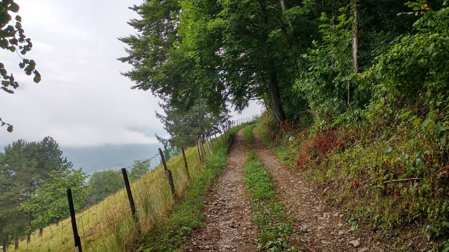
| Rating: | |
| Country: | Slovenia |
| Mountain range: | Julian Alps |
| Trailhead: | Zatolmin (256 m) |
| Destination: | Grofova voda (454 m) |
| Trailhead latitude/longitude: | 46.1942 / 13.7279 |
| Destination latitude/longitude: | 46.2039 / 13.7038 |
| Difficulty: | Easy marked route  |
| Recommended equipment: | Hiking shoes |
Drive to Tolmin and at the main traffic lights turn in the direction of Zatolmin (right if you are coming from Ljubljana, or left if you are coming from Nova Gorica). In Zatolmin, keep on the main road, but only until the fork where the road to the right leads you towards Tolminski korite. Before this fork, you will see a restaurant on the right hand side of the road and a car park on the left. Park here.
Trail description:On foot, first continue along the asphalt road, but not on the right, which leads to the Tolminksi troughs, but straight along the ascending road (past the cheese farm). Follow the road until you reach a fork marked with a signpost, which points to the left at Vodil vrh, which is where you should go. After a few dozen metres, the road becomes macadam and then soon leads into the forest. Continue on the macadam road until you reach a signposted fork (at Podoreh), where you take the leftmost path leading towards Grofova Voda, where you will also be directed by a signpost. The track starts to descend and we continue until we reach a bend where a narrow path branches off to the right. There is a more moderate climb and a small bridge to cross, which will take you to your destination.
Additional tips:No additional tips.
![[object Object] - [object Object] main photo](https://api.mountainsgeek.com/media/20190727_085701.jpg)
![[object Object] - [object Object] main photo](https://api.mountainsgeek.com/media/20191017_170016.jpg)


