



Drežnica - Slap Krampež (General)
mimo slapa Sopot
0 h 20 min




 Weather
 Nearest webcam
| Rating: | |
| Country: | Slovenia |
| Mountain range: | Julian Alps |
| Trailhead: | Drežnica (541 m) |
| Destination: | Slap Krampež (570 m) |
| Trailhead latitude/longitude: | 46.2555 / 13.6168 |
| Destination latitude/longitude: | 46.2569 / 13.6251 |
| Difficulty: | Easy marked route  |
| Recommended equipment: | Water |
From Kobarid, drive to Napoleon's Bridge and follow the signs for Drežnica village (left). Drive through the forest for 10 minutes and arrive in Drežnica village, where you can park at the school playground.
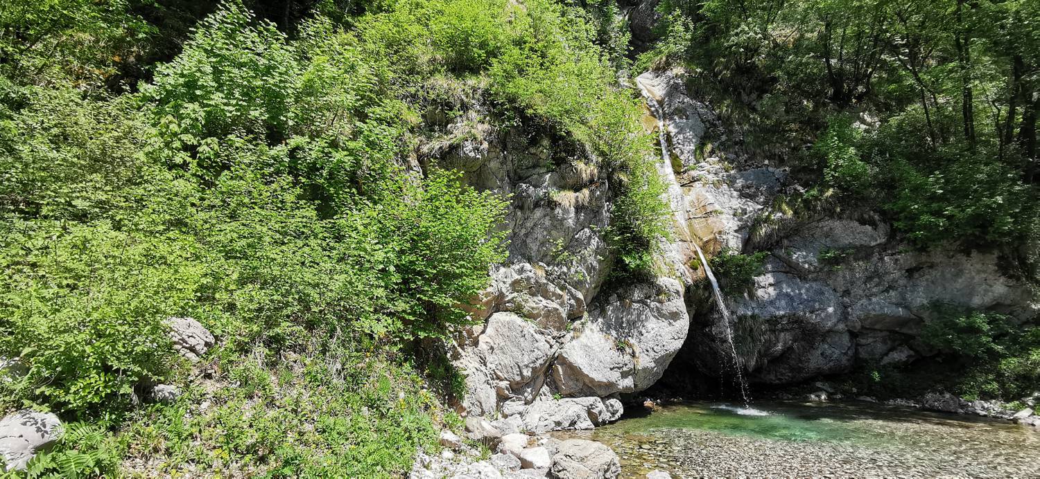
Trail description:From the car park you can see signs for the Hunting Collection and the Kranjc Tourist Farm (right). Walk along the main road until the signs for the Krampež waterfall and Sopot point you left into the forest. After about 15 minutes of walking, you will reach the first waterfall (Sopot), and then the signs will take you to the second one (Krampež).
Additional tips:No additional tips.


