



Lepovče pri Ribnici - Stene Svete Ane (General)
1 h 20 min




 Weather
 Nearest webcam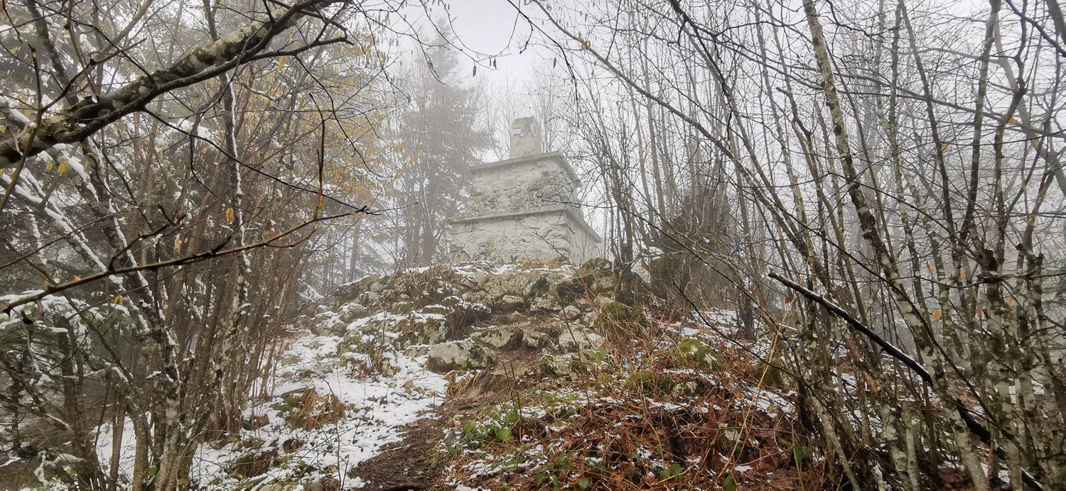
| Rating: | |
| Country: | Slovenia |
| Mountain range: | The Zasavje-Posavje Hills and the Dolenjska Region |
| Trailhead: | Lepovče pri Ribnici (490 m) |
| Destination: | Stene Svete Ane (964 m) |
| Trailhead latitude/longitude: | 45.7447 / 14.7365 |
| Destination latitude/longitude: | 45.7755 / 14.7477 |
| Difficulty: | Easy marked route  |
| Recommended equipment: | Hiking shoes Water |
From Kočevje, drive towards Ribnica and Ljubljana. In the village of Hrovača, take the third exit (direction Ljubljana) at the roundabout. On the right hand side you will see a Mol petrol station and Lidl. After Lidl, turn right at the crossroads and go straight past the industrial zone. Before the road turns into a forest, you will see a large car park on the right.
Trail description:From the car park, continue along the road into the forest towards Svete Ana. Signs direct you to the left on a path that slowly climbs. The path passes through the forest and then descends to the road. Walk along the road for about five minutes until you reach the cave dwelling. From the cave house, continue along the marked path. It leads to the Seljan homestead, where you continue uphill to the right. The path here is well marked and starts to climb. After a good half an hour, you reach the top, where the Church of St Anne stands. If you continue on the path from the church, you will reach a mountain hut.
Additional tips:Missing images to Seljan Farm
![[object Object] - [object Object] main photo](https://api.mountainsgeek.com/media/IMG_20220220_114517_L8wka22.jpg)


