



Planina Loka - Koča na Grohatu (General)
1 h 50 min




 Weather
 Nearest webcam
| Rating: | |
| Country: | Slovenia |
| Mountain range: | Kamnik-Savinja Alps |
| Trailhead: | Planina Loka (1435 m) |
| Destination: | Koča na Grohatu (1460 m) |
| Trailhead latitude/longitude: | 46.4034 / 14.7573 |
| Destination latitude/longitude: | 46.4234 / 14.7432 |
| Difficulty: | Easy marked route  |
| Recommended equipment: | Hiking poles Hiking shoes Water Snack |
We head towards the Logar Valley, to the village of Konjski vrh. After the Man bar, the signs for the Snow Cave at Raduha direct us right onto a narrow ascending road, which we follow for about 30 minutes. Then park at the mountain signs for the hut at Loka and the Snow Cave (Planina Loka).
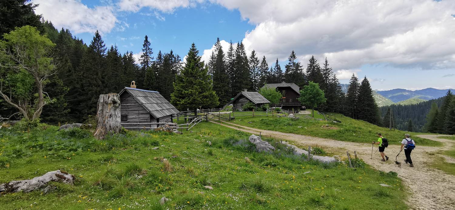
Trail description:It is a 15-minute walk from the car park to the hut at Loka pod Raduho. Then the mountain signs lead you past the hut in the direction of Raduha. After about 1 hour of walking, the path from Durce joins us from the right side and we continue in the direction of the hut at Grohatu. Then follow the signs which, after about 1 hour, lead us to the hut at Grohatu.
Additional tips:No additional tips.


