



Zadnjica - Zasavska koča na Prehodavcih (General)
3 h 45 min




 Weather
 Nearest webcam
| Rating: | |
| Country: | Slovenia |
| Mountain range: | Julian Alps |
| Trailhead: | Zadnjica (650 m) |
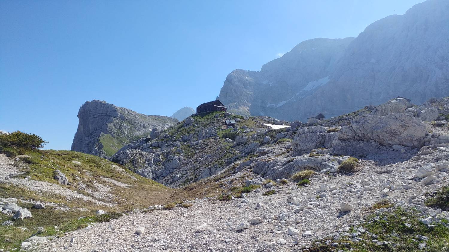
| Destination: | Zasavska koča na Prehodavcih (2071 m) |
| Trailhead latitude/longitude: | 46.3824 / 13.76 |
| Destination latitude/longitude: | 46.3585 / 13.7924 |
| Difficulty: | Easy marked route  |
| Recommended equipment: | Hiking poles Hiking shoes Water Snack |
From Tolmin, head towards Bovec. Go around Bovec on the bypass, pass Bovec Airport, then turn out at the second exit at two roundabouts and continue straight on for a while, when soon after the Ravelnik open-air museum, the road to Kranjska Gora, Vršič and Trenta will branch off to the right, where you will turn off. Cross the river Koritnica and continue along the road leading along the river Soča for a longer distance. In the village of Trenta, pay attention, because shortly after crossing a small bridge over the Krajcarica River, the road to Zadnjica will branch off to the right, where you will turn. Shortly after the turn, you will see a parking lot, where you park.
Trail description:Continue on foot along the macadam road, past the lock and drinking water, into the forest. The road initially runs right next to the river, then crosses the river and moves slightly away from it. Just after the small bridge over which you cross the river, you will see a small cottage, which you pass on the left and continue along the gently ascending road to a few more cottages, with a view of the high mountains around you. After that the road starts to climb a bit more and soon we will see a forest track branch on the right at a bend, which we turn onto and climb back up to the macadam road in a few dozen metres. Continue along the dirt road until you reach a fork, where you turn right and follow the signpost. From here on, the road becomes a narrow path leading through the heath. Cross the river twice in this section, after which the path begins to climb steeply. The ascent takes a long time, during which the heath is replaced by rocks and stones. All along the way, we are treated to magnificent views of the high mountains around us. Just before the end of the climb, the heather reappears along the path, and immediately afterwards we find ourselves at a new fork. Turn left and follow the pleasant, climbing path back up to the new fork, where you turn left again. From here it is a 1 hour and 20 minute walk to the top. After a few dozen metres, the path lays down again, bypassing a high rock, behind which we can see new and wonderful views. The path begins to climb again, and the terrain here is rough. We continue at this pace to the top.
Additional tips:No additional tips.


