



Tolminske Ravne - Vogel (General)
3 h 30 min




 Weather
 Nearest webcam
| Rating: | |
| Country: | Slovenia |
| Mountain range: | Julian Alps |
| Trailhead: | Tolminske Ravne (924 m) |
| Destination: | Vogel (1922 m) |
| Trailhead latitude/longitude: | 46.2294 / 13.7715 |
| Destination latitude/longitude: | 46.2383 / 13.8125 |
| Difficulty: | Difficult marked route  |
| Recommended equipment: | Hiking poles Hiking shoes Snack |
Take the road to Tolmin, then continue driving in the direction of Žabče and Zadlaz (the main road turnoff is located on the left bank of the Tolminka River). When you arrive in Žabče, at a small crossroads, turn slightly right towards Zadlaz. In Zadlaz-Žabče the road descends a little, crossing the Zadlaščica River via a bridge, and then starts climbing steeply again on a narrow, but constantly asphalted road. After about 12 km from the main road, you reach a marked parking area in Tolminske Ravne, where you park.
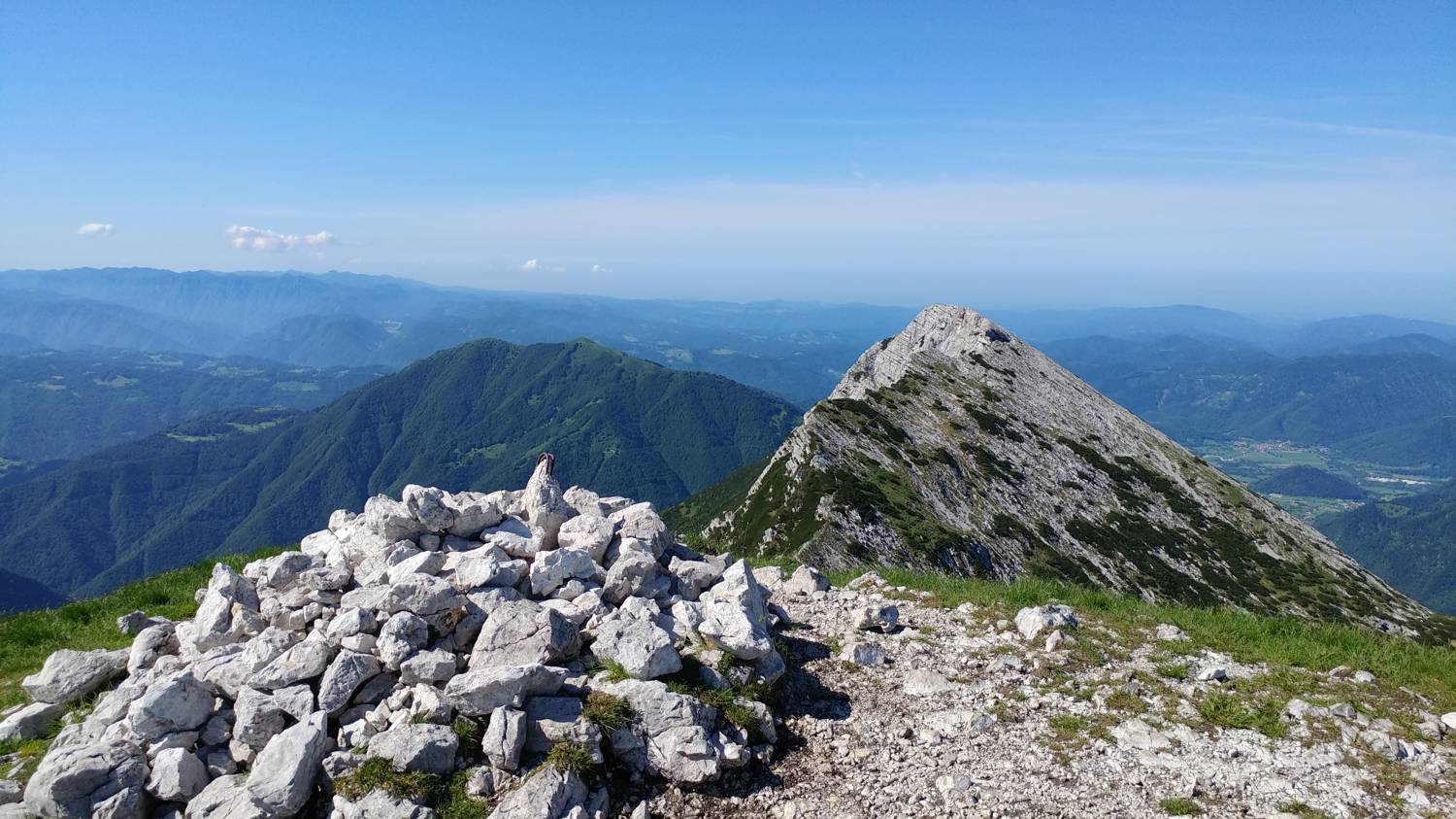
Trail description:From Tolminske Ravenske, head towards the Cottage on Mt Razor. Continue along the track, which descends slightly to the right, then lays down and continues for a few minutes without any major changes in elevation. After the concrete trough, the path splits again and we take the left steep path, which is 30 minutes shorter but steeper. After an hour we arrive at Planina Razor and the hut on Planina Razor. From the hut we continue in the direction of Globokie, Vogel, Vrch nad Škrbino... along a path that crosses a strip of forest and then forks on a folding grassy slope. From the crossroads, continue right (straight ahead to Vrh nad Škrbino and Dom na Komni) and start climbing moderately. The path quickly returns to the forest and leads to the next crossroads. Continue right again towards Vogel (left Globoko) and gradually start climbing steeply. Leave the forest quickly and then start climbing up the gradually steeper slope. With fine views of the Tolmin region, higher up you reach the south-western ridge of Vrch Krnic, where the trail transitions and turns left. The path continues to climb crosswise and leads above Krnica and along the slopes of Vrch Krnic. After crossing a small valley, where an unmarked path branches off to the left, leading to a small saddle between the summit and Vogel, the path crosses over to the slopes of Vogel, where it climbs steeply across a steep slope. Higher up, you reach the ridge of Vogel, where the path turns left (right: Žabiški Kuk). A good 10 minute climb follows and the scenic route leads to the 1922 metre high summit of Vogel. Tolminske Ravne - Mt Razor 1:15, Mt Razor - Vogel 1:45.
Additional tips:No additional tips.
![[object Object] - [object Object] main photo](https://api.mountainsgeek.com/media/20180603_093627_LgzzePq.jpg)
![[object Object] - [object Object] main photo](https://api.mountainsgeek.com/media/20180603_095049_Hy7DxVt.jpg)
![[object Object] - [object Object] main photo](https://api.mountainsgeek.com/media/20180610_092533.jpg)
![[object Object] - [object Object] main photo](https://api.mountainsgeek.com/media/20180603_093627.jpg)
![[object Object] - [object Object] main photo](https://api.mountainsgeek.com/media/20180610_092552.jpg)
![[object Object] - [object Object] main photo](https://api.mountainsgeek.com/media/20180603_093605.jpg)


