



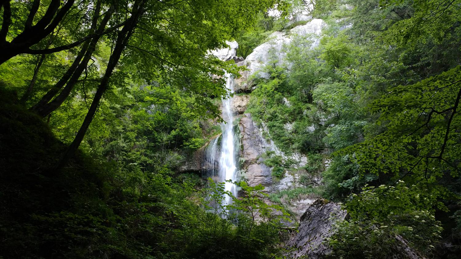
Poljubinj (parkirišče slap Beri) - Slap Beri (General)
0 h 30 min




 Weather
 Nearest webcam
| Rating: | |
| Country: | Slovenia |
| Mountain range: | Julian Alps |
| Trailhead: | Poljubinj (parkirišče slap Beri) (263 m) |
| Destination: | Slap Beri (454 m) |
| Trailhead latitude/longitude: | 46.1817 / 13.7564 |
| Destination latitude/longitude: | 46.1837 / 13.7646 |
| Difficulty: | Difficult marked route  |
| Recommended equipment: | Hiking shoes |
From Nova Gorica, head towards Most na Soči. After the settlement of Modrejci, after crossing the Soča River, turn left towards Tolmin. After the village of Praprotno, you will come to a fork (Tolmin on the left, Poljubinj on the right), where you keep right and continue into the village, to the homestead of Valter - Siber, where you turn left onto the ascending road, which you will follow until you reach a fork of several paths, which you will recognise by the ecological island on your left. Just before a prominent tall narrow house with a garage door, turn right towards the Beri waterfall, where you will also see a signpost. Continue to the car park, where we park.
Trail description:Cross a wooden bridge made of wooden planks on foot and then join the forest path, which immediately turns sharp left after a few metres. The narrow forest path mostly runs on flat ground, crossing a small scree slope and the Gadiča stream via a suspension bridge. After the bridge, the path begins to climb moderately and continues at this pace to the Beri waterfall, which is located in the forest.
Additional tips:No additional tips.


