



Dom v Lepeni - Krnsko jezero (General)
2 h 15 min




 Weather
 Nearest webcam
| Rating: | |
| Country: | Slovenia |
| Mountain range: | Julian Alps |
| Trailhead: | Dom v Lepeni (700 m) |
| Destination: | Krnsko jezero (1391 m) |
| Trailhead latitude/longitude: | 46.3037 / 13.6818 |
| Destination latitude/longitude: | 46.2862 / 13.6849 |
| Difficulty: | Easy marked route  |
| Recommended equipment: | Hiking poles Hiking shoes Water |
We drive to Tolmin and from here we continue to Kobarid. In Kobarid, shortly after the Tik d.o.o. factory (on the right side of the road), turn right towards Bovec. Continue for some time on the road that runs right next to the Soča River. Bypass Bovec by taking the bypass road on the right-hand side of the town. Continue past the Mangart Hotel and the Ravelnik open-air museum, and shortly afterwards turn right towards Kranjska Gora, Vršič and Trenta. Cross the Koritnica River and continue along the road to Camp Soča. From here, continue for a short distance and then turn right towards Lepena and Veliki Korit. Continue along the road for a short distance, which will take you directly in front of the lodge in Lepena, where you can park in the parking lot.
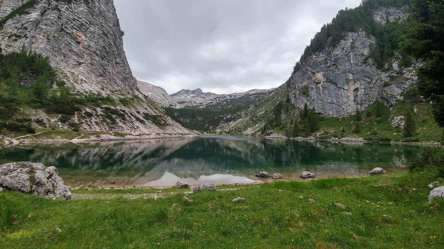
Trail description:Continue on foot to the end of the car park, where a narrower lane branches off to the left, where you will also be directed by a signpost to Krnsko jezero. The path immediately turns into the forest and starts to climb moderately. Continue at this pace for a longer period of time, with the track making several semicircular turns. At some bends the forest thins out a bit and we have beautiful views towards the valley and the nearby peaks. Just before the end of the moderately ascending, winding track, there will be a cable car on the way, under which you continue on the track, which flattens out a little at this point. It soon starts to climb moderately again and after a short time leads to the top station of the cable car, which you pass on your right. Here the track lays down again and continues at this pace for a few minutes. Shortly after the wooden meter, which shows the snow depth in different calendar years, the track also descends in two bends. Continue to a fork where the path branches off to the left towards the Mountain Home at Krn Lakes, where you will turn. There is a steeper descent on slightly rocky terrain, followed by just over 200 metres of flat terrain, and you will reach your home. We bypass the home and continue on towards Krn Lake, which is only a 15-minute walk away. On the way, we pass a small mountain, and before we reach the lake, there is only a short climb and then a descent to the lake.
Additional tips:No additional tips.
![[object Object] - [object Object] main photo](https://api.mountainsgeek.com/media/20190615_085843_Nf8Nd7o.jpg)


