



Mrše - Sveti Socerb (Brkini) (General)
1 h 5 min




 Weather
 Nearest webcam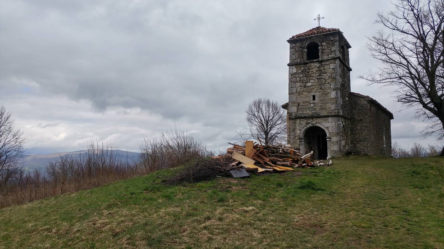
| Rating: | |
| Country: | Slovenia |
| Mountain range: | The Goriška, Notranjska, and Snežnik Mountain Ranges |
| Trailhead: | Mrše (749 m) |
| Destination: | Sveti Socerb (Brkini) (817 m) |
| Trailhead latitude/longitude: | 45.5903 / 14.0389 |
| Destination latitude/longitude: | 45.6151 / 14.0304 |
| Difficulty: | Easy marked route  |
| Recommended equipment: | Hiking shoes |
From Ljubljana, follow the motorway towards Primorska. Leave the motorway at the Kozina exit and turn right at the traffic lights. In a few metres you will reach an un-semaphorised crossroads where you turn left towards Krvave potok. From here, continue past Hrpelje and Materija and Povžany for some time, then a narrower road will branch off to the left, towards Tatry, Mrš and Hotična, where you will turn left. Continue straight ahead for some time, until you reach the T-track, where the sign for Mrše points you left again. Continue through the village, and from here onwards for a few hundred metres, when you will see a parking area on the left side of the road, where you park.
Trail description:From the car park, head to the forest track, where you will also find a mountain sign. You will walk along the track for a while, then a narrow track will branch off to the right, which you can turn onto. This will lead us to an asphalt road, and just a few metres before it, the path we came on turns left and leads us back into the forest. Continue on the track without joining the road. Soon the path leads to a track, which we join and follow for the next few metres, then turn right, back onto the narrow track, which climbs more easily to the track again. Continue along the track to a major fork, where signs point to the right. The path leads out of the forest onto a grassy slope, along which we continue on our way. When the meadow ends, join the asphalt road and follow it to the village of Artviže. In the village, continue to the first fork where you turn right onto the ascending path. Continue past the pink building on the right, and after it turn left onto the even steeper road, which leads past the last houses onto a grassy path that leads to the top.
Additional tips:No additional tips.


