



Podmeja - Mrzlica (General)
1 h 15 min




 Weather
 Nearest webcam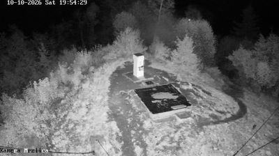
| Rating: | |
| Country: | Slovenia |
| Mountain range: | The Zasavje-Posavje Hills and the Dolenjska Region |
| Trailhead: | Podmeja (724 m) |
| Destination: | Mrzlica (1122 m) |
| Trailhead latitude/longitude: | 46.1861 / 15.0619 |
| Destination latitude/longitude: | 46.1875 / 15.1074 |
| Difficulty: | Easy marked route  |
| Recommended equipment: | Hiking poles Hiking shoes Water |
From Ljubljana, take the motorway towards Celje. Leave the motorway at the Šentrupert / Gornji grad / Mozirje exit and turn right just after the exit. Soon you will come to a T-junction where you turn left and after a few moments turn right again. Pass Latkova vasa, Dolenja vasa and Prebold on the ascending, winding road, which leads to the Podmeja Pass, where the road straightens out. Immediately on your left you will see a parking lot and a restaurant, where you park.
Trail description:Continue on foot to the left by the restaurant, onto the forest path, where you will also find the signpost for Mrzlica. Continue for a few minutes through a pleasant grove, and soon the path joins an asphalt road, which leads up to the houses, in front of which there is a fork in the path. Continue straight ahead, passing the houses, before the road turns to macadam and leads into the forest. Continue along the road until it turns to asphalt again and a narrow forest path branches off to the right just a few metres further on, which we join. Continue through the forest for a few minutes and then rejoin the road, which soon becomes macadam again. From here, you can see beautiful views across the valley. Follow the dirt road for the last 30 minutes of the ascent. Just before the top, steep wooden steps branch off to the right, which you turn onto and climb up to the house on Mrzlica. From here, it is only a few minutes' climb to the summit.
Additional tips:No additional tips.
![[object Object] - [object Object] main photo](/assets/images/default-no-image.webp)


