



Koča na Pesku - Rogla (General)
0 h 30 min




 Weather
 Nearest webcam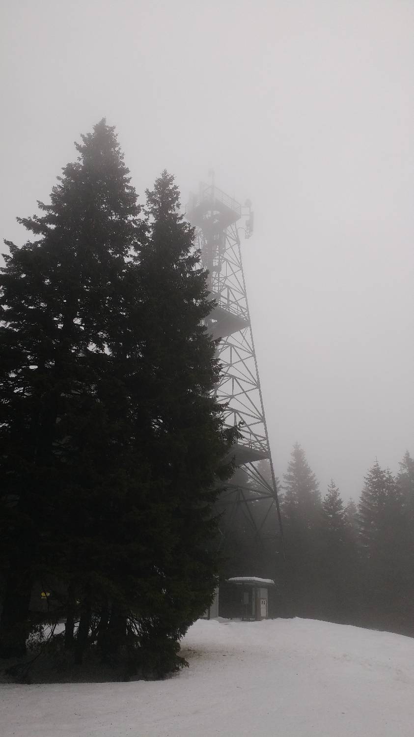
| Rating: | |
| Country: | Slovenia |
| Mountain range: | Pohorje and the rest of northeastern Slovenia |
| Trailhead: | Koča na Pesku (1386 m) |
| Destination: | Rogla (1517 m) |
| Trailhead latitude/longitude: | 46.4672 / 15.344 |
| Destination latitude/longitude: | 46.4563 / 15.3458 |
| Difficulty: | Easy marked route  |
| Recommended equipment: | Hiking shoes |
From Ljubljana, take the motorway towards Štajerska. Leave the motorway at the Celje - centre exit and continue towards Zreče. In Zreče you will reach a roundabout, which you leave at the third exit (sign for the centre). Continue on the main road, which leads past the Tuš Kea market and the Pod Roglo hotel, and then begins a steep, winding climb to the Rogla ski resort. Continue past the ski resort, on along the road, which after a few minutes' drive will take you to the hut at Pesek, where you park in the car park in front of it.
Trail description:From the car park, join the road you came on and continue along the road leading to the Rogla ski resort for the first few dozen metres. Soon, however, the signpost for the Rogla lookout tower will direct you to a forest track, which you join and continue along the macadam road for the first few minutes, or until you reach a bend where a forest track branches off to the left, where you turn. The track starts climbing immediately and continues at this pace almost the whole way. It ends just before the summit, which can be identified by its high lookout tower.
Additional tips:No additional tips.


