



Okrepčevalnica Tolminska korita - Cerkev Sv. Petra (General)
0 h 20 min




 Weather
 Nearest webcam
| Rating: | |
| Country: | Slovenia |
| Mountain range: | Julian Alps |
| Trailhead: | Okrepčevalnica Tolminska korita (219 m) |
| Destination: | Cerkev Sv. Petra (325 m) |
| Trailhead latitude/longitude: | 46.1974 / 13.7393 |
| Destination latitude/longitude: | 46.198 / 13.7346 |
| Difficulty: | Easy marked route  |
| Recommended equipment: | Hiking shoes |
Drive to Tolmin, and from here turn towards Zatolmin at the main semaphore crossroads. In the village, at the first crossroads, follow the main road leading to Tolminski korite. Follow the road all the way to the Tolminska korita cafeteria, where you park.
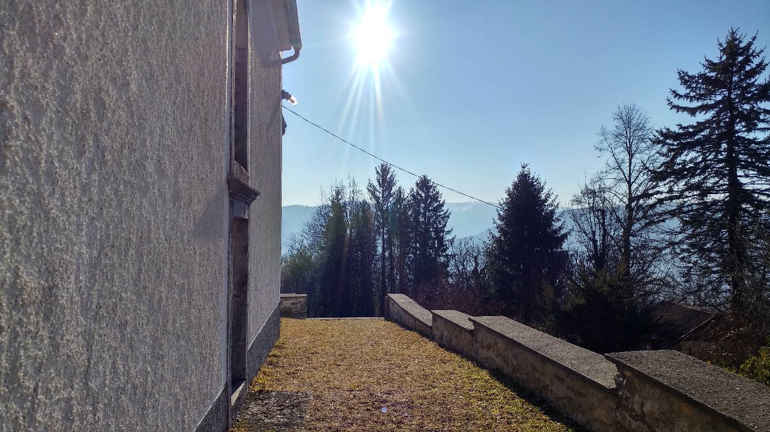
Trail description:We continue on foot along the road, but only as far as the wooden house on our right, where a forest path (the Austrian Military Trail) branches off to the left and we turn onto it. The path starts climbing immediately and continues at this pace for about 15 minutes. The path then straightens out and joins the road, which you cross and climb the steps to St Peter's Church.
Additional tips:No additional tips.
![[object Object] - [object Object] main photo](https://api.mountainsgeek.com/media/20171118_094328.jpg)
![[object Object] - [object Object] main photo](https://api.mountainsgeek.com/media/20171118_112329.jpg)
![[object Object] - [object Object] main photo](https://api.mountainsgeek.com/media/20171118_084918_HDR_771MqVA.jpg)
![[object Object] - [object Object] main photo](https://api.mountainsgeek.com/media/20190502_090607_HDR.jpg)
![[object Object] - [object Object] main photo](https://api.mountainsgeek.com/media/20190518_085332.jpg)
![[object Object] - [object Object] main photo](https://api.mountainsgeek.com/media/20171118_084918_HDR.jpg)
![[object Object] - [object Object] main photo](https://api.mountainsgeek.com/media/IMG_20191225_112838.jpg)


