



Ljubelj - Koča Vrtača (General)
0 h 40 min




 Weather
 Nearest webcam
| Rating: | |
| Country: | Slovenia |
| Mountain range: | Karawanks |
| Trailhead: | Ljubelj (1058 m) |
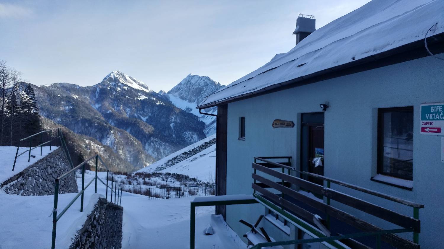
| Destination: | Koča Vrtača (1288 m) |
| Trailhead latitude/longitude: | 46.4315 / 14.26 |
| Destination latitude/longitude: | 46.4297 / 14.2446 |
| Difficulty: | Easy marked route  |
| Recommended equipment: | Hiking shoes |
From Ljubljana, take the motorway towards Gorenjska and leave the motorway towards Tržič. From here, continue past Tržič and Podljubelj until you reach the Ljubelj tunnel. Just before the tunnel, a road will turn off to the left. Cross a short wooden bridge and park in a large car park.
Trail description:Walk back to the wooden bridge, before which a signpost for Zelenica and Dom na Zelenica will direct you to a wide, ascending track leading into the forest. After a short climb, a narrow path will branch off at a bend and you will join it, which you will follow for a few minutes before rejoining the wide track. This quickly leads to a former ski slope, which you climb up. The ascent is direct and quite steep. After about 10 minutes you will reach the hut.
Additional tips:No additional tips.


