



Ljubelj - Dom na Zelenici (General)
1 h 20 min




 Weather
 Nearest webcam
| Rating: | |
| Country: | Slovenia |
| Mountain range: | Karawanks |
| Trailhead: | Ljubelj (1058 m) |
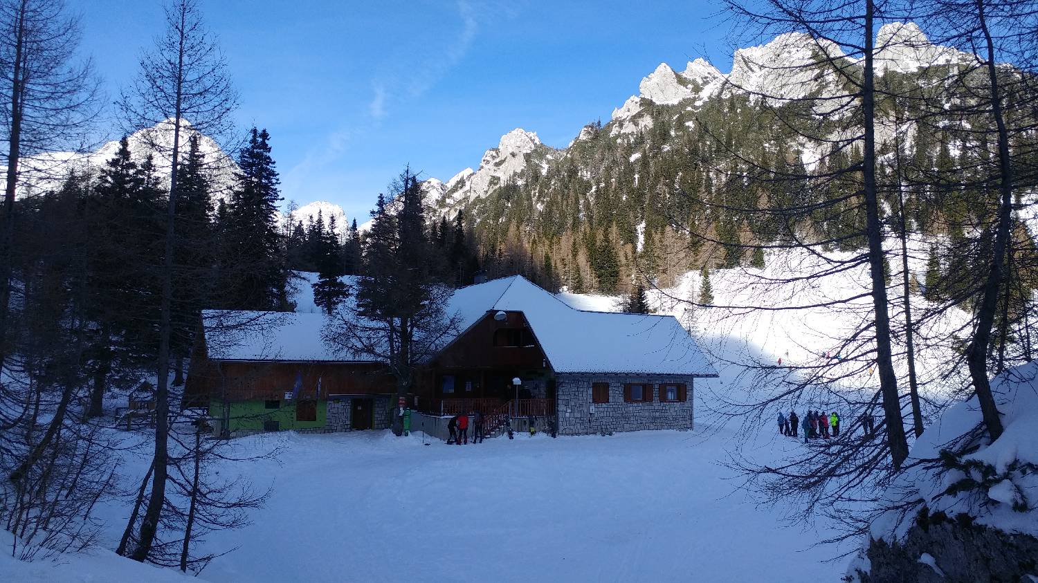
| Destination: | Dom na Zelenici (1536 m) |
| Trailhead latitude/longitude: | 46.4315 / 14.26 |
| Destination latitude/longitude: | 46.429 / 14.2336 |
| Difficulty: | Easy marked route  |
| Recommended equipment: | Hiking poles Hiking shoes Water |
From Ljubljana, take the motorway towards Gorenjska and leave the motorway towards Tržič. From here, continue past Tržič and Podljubelj until you reach the Ljubelj tunnel. Just before the tunnel, a road will turn off to the left. Cross a short wooden bridge and park in a large car park.
Trail description:Walk back to the wooden bridge, before which a signpost for Zelenica and Dom na Zelenica will direct you to a wide, ascending track leading into the forest. After a short climb, a narrow path will branch off at a bend and you will join it, which you will follow for a few minutes before rejoining the wide track. This quickly leads to a former ski slope, which you climb up. The ascent is direct and quite steep. After about 10 minutes, we will reach Vrtača hut, which we bypass on the right and continue our ascent along the path that leads us through the heath. The path becomes slightly steeper at this point. Once you have climbed through the heather, you will join a wide track which first leads round a bend, then straightens out and lays down a little, leading in just a few minutes to Doma na Zelenica.
Additional tips:No additional tips.


