



Laško - Planinski dom na Kališču (General)
1 h 30 min




 Weather
 Nearest webcam
| Rating: | |
| Country: | Slovenia |
| Mountain range: | Kamnik-Savinja Alps |
| Trailhead: | Laško (815 m) |
| Destination: | Planinski dom na Kališču (1534 m) |
| Trailhead latitude/longitude: | 46.3323 / 14.401 |
| Destination latitude/longitude: | 46.337 / 14.417 |
| Difficulty: | Easy marked route  |
| Recommended equipment: | Hiking poles Hiking shoes Water |
From Ljubljana, take the highway toward the Gorenjska region. Take the Kranj–West exit, and immediately after the exit, turn right. The road leads to a roundabout, where you’ll take the third exit toward Kokrica and Tržič. Continue along the road past the Dežman pizzeria, the Floorin store, the Mlaka pharmacy, and the Dentist Implantology Center (all on the left side of the road); shortly after that, a road branching off to the right toward Srakovlje will appear, and you’ll turn there. In the village, you’ll come to another intersection, where you’ll turn left and follow the road to the roundabout in Srednja Bela, where you’ll take the second exit. Continue on to Zgornja Bela, where, at the fork, turn left again and follow the road to Bašelj. Here, at a larger fork, keep left again and follow the road through the hamlet of Laško, after which the road becomes a gravel road. We continue along the rough gravel road to the end of the road, where there is a parking lot where we park.
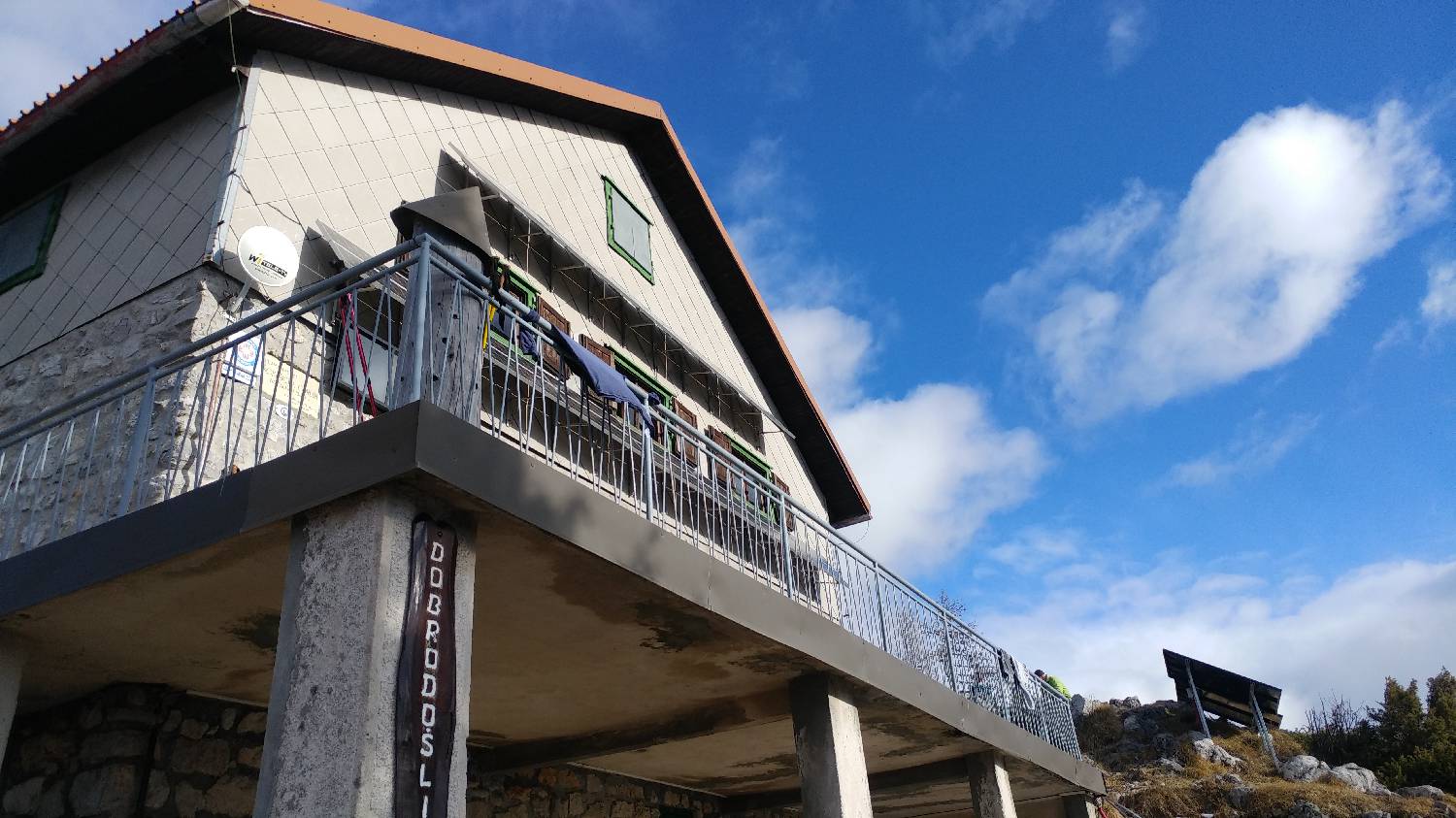
Trail description:We continue on foot along a wider forest trail, which is also indicated by a signpost for Kališče. Shortly after starting the trail, a narrower trail branches off to the right, and we turn onto it. We continue along the well-marked trail, crossing a wider, very poorly maintained gravel road several times. After the last crossing, we’re treated to our first beautiful view of the valley. Here, the trail narrows slightly and begins a steep, winding ascent. After a longer climb, the trail emerges from the forest, revealing a magnificent view of Triglav. Immediately past the viewpoint, the trail leads back into the forest. A longer walk through the forest follows, after which the forest thins out and the trail takes us to a wooden hut, which we pass on the right. Shortly after that, on the right side, a short distance from the trail, you’ll spot a few more huts, but you’ll continue along the trail that leads into a dense forest. After just a short climb, you’ll reach the Kališče mountain hut, which offers a magnificent view of Storžič.
Additional tips:No additional tips.


