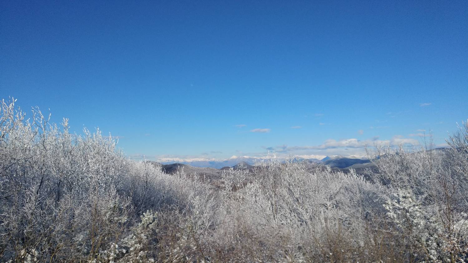



Predmeja (konec) - Koča Antona Bavčerja na Čavnu (General)
- Hiking time1 h 15 min
- Difficulty: Easy marked route
- Destination:1242 m
- Elevation difference+367 m
Getting to the trailhead:
From Ljubljana, follow the motorway towards Logatec and turn off the motorway at the exit for Logatec. Continue straight on the main road, passing Hofer on the right, until you reach a roundabout, at which you turn out at exit 3 towards Tolmin, Idrija and Postojna. Continue to Kalce and turn left at a major crossroads towards Podkraje. Follow the main road for a longer distance to Colo, where at the crossroads turn right towards Kalce, Gozd and Idrija. After only a few hundred metres, shortly after the parish on the right, you will come to a crossroads where you turn left towards Predmeja. Follow the road all the way to the end of Predmeja, when you will soon come to a larger crossroads, which you will recognise by the many signs and a small parking area where you park.
Trail description:
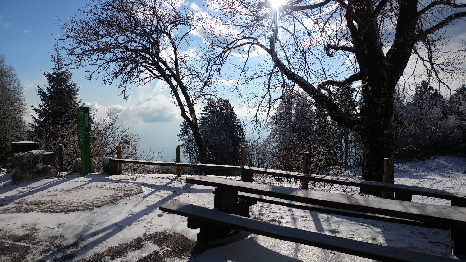
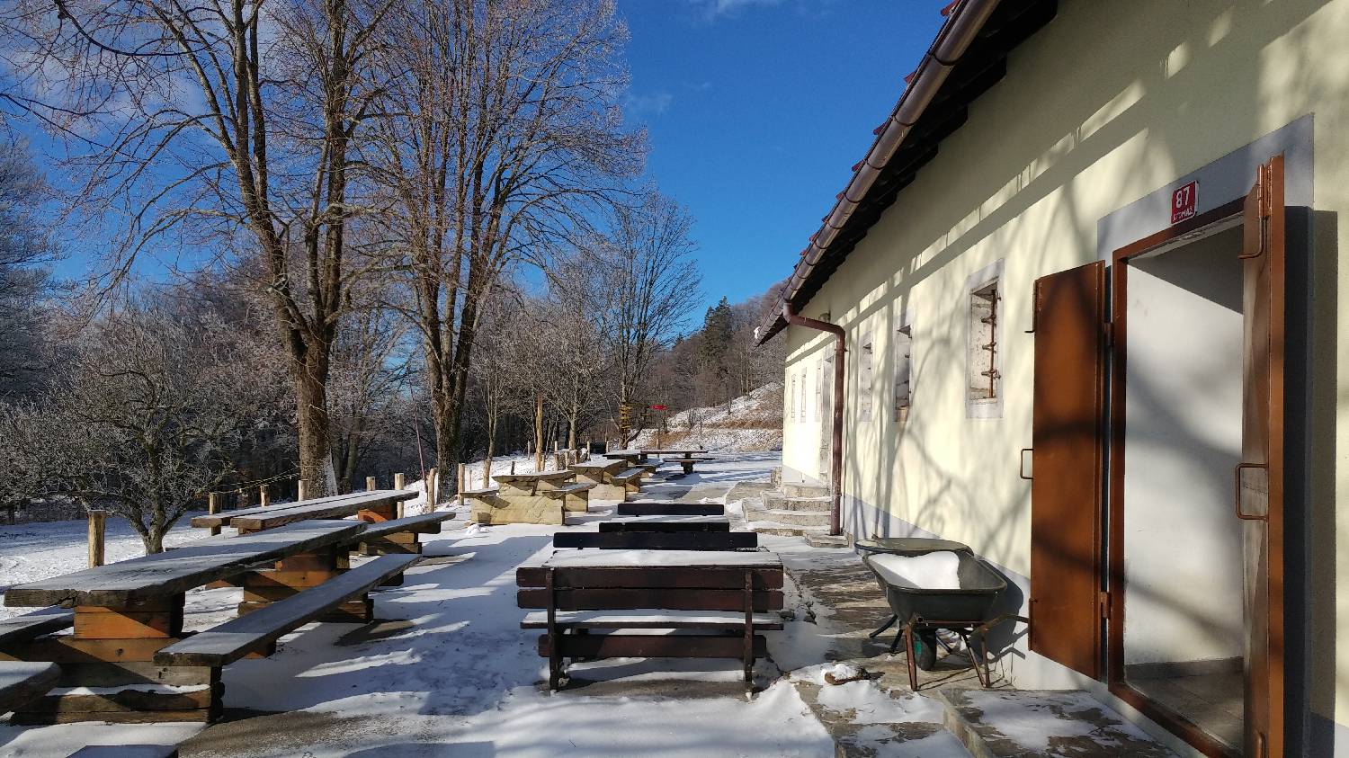
Cross the road on foot and climb the short stairs to a narrow path leading left into the forest. It is a long walk of about 50 minutes on rising ground, which eventually leads to a road which you join. The path is very well marked throughout with Slovenian mountain trail markings. After a short time, the road will lead out of the forest, and a beautiful view will open up to our left. The terrain here is flat, and we continue along the road to the hut, which is located by the road.
Additional tips:
No additional tips.
Related trails
Predmeja (v gozdu) - Koča Antona Bavčerja na Čavnu
po cesti