



Jazne (Lanišar) - Sivka (General)
1 h 30 min




 Weather
 Nearest webcam
| Rating: | |
| Country: | Slovenia |
| Mountain range: | The Škofja Loka and Cerkno Hills and Jelovica |
| Trailhead: | Jazne (Lanišar) (660 m) |
| Destination: | Sivka (1008 m) |
| Trailhead latitude/longitude: | 46.0732 / 14.0241 |
| Destination latitude/longitude: | 46.0572 / 14.0478 |
| Difficulty: | Easy marked route  |
| Recommended equipment: | Hiking poles Hiking shoes Water |
From Ljubljana, follow the old road towards Škofja Loka, passing through Medna and Medvode. In Škofja Loka, continue in the direction of Tolmin, but only as far as the village of Sovodenj, where you turn left after the Mercator shop, which is on the left side of the road, cross a small bridge, pass a roadside inn on the left and continue towards the village of Jazne - turn right at the crossroads. Shortly after the crossroads, you will see two houses and a cattle pen on the right. This is also the fork to the left, and at this fork there will be a signpost pointing towards Sivka. Park in the appropriate place on the roadside.
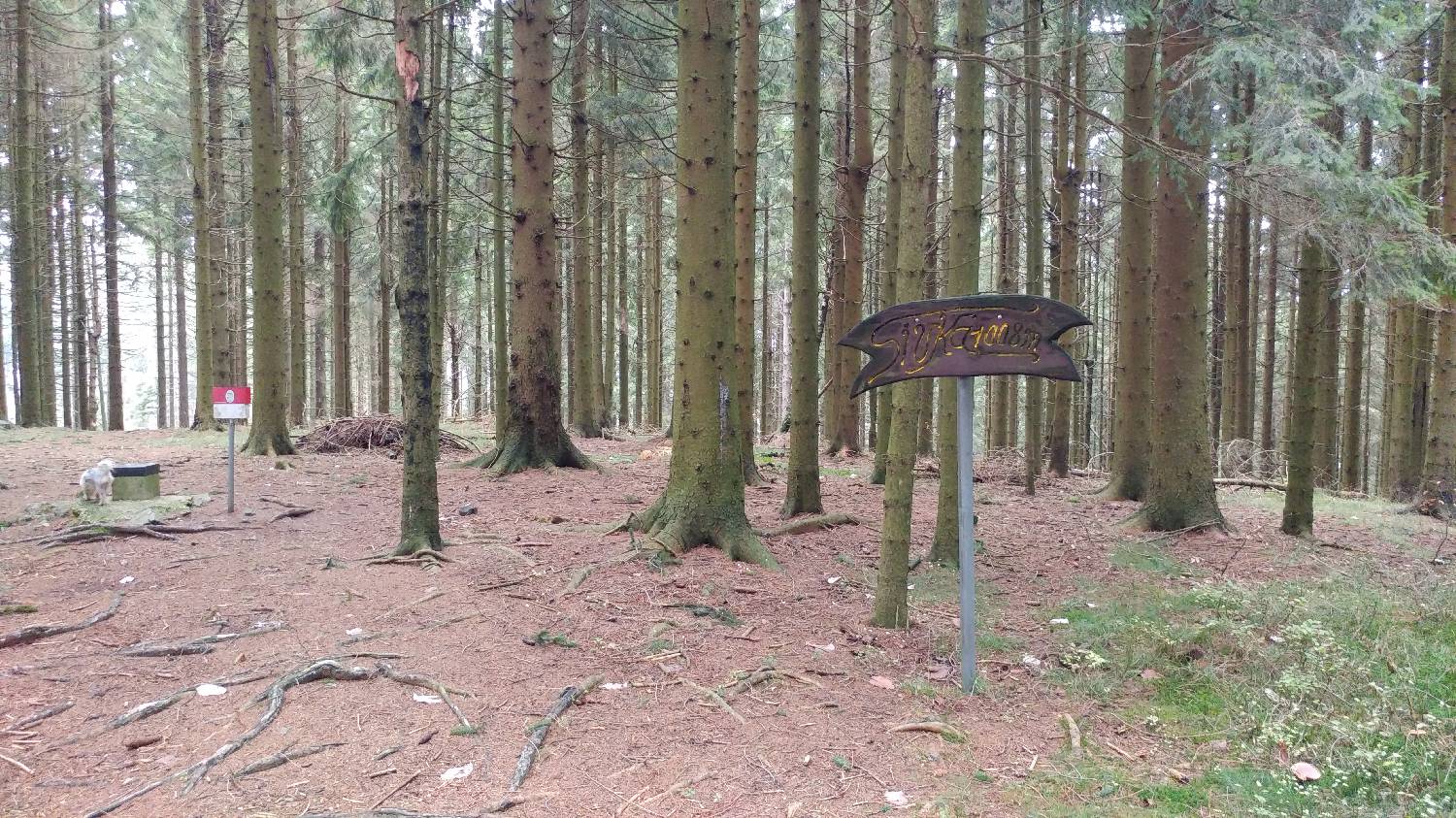
Trail description:Continue on foot to the left towards Sivka. The path is asphalted at first and leads past a house on the left, then a few hundred metres more on the flat, then climbs and passes another house. Just after this house, the road splits, becomes macadam and turns into the forest. Take the right fork and continue along the relatively level road until it forks again, where you turn left onto a climbing road that leads up to meadows. Here you will again find yourself at a fork, where you turn right, and just a few dozen metres beyond, a signpost for Sivka directs you to a grassy track. The track slopes steeply and continues through the woods for some time. When you come out of the woods again, the path flattens out and you find yourself in front of a farm, which you pass on the right hand side. Then you walk along the sloping terrain, which initially runs along the edge of the woods, then goes back into the woods and leads you through the woods to another farm. Turn left here and continue along the grassy track for a long distance, keeping straight ahead at all times. When you reach an asphalt road, turn right and follow the road past a large building on the left and on to a crossroads with a table with benches and a chapel. Here, take the middle, dirt track, which is also signposted to Sivka, and continue on the dirt track to the beginning of the forest. Here, a forest track branches off to the right, which you climb up and after walking for about 5 minutes you reach the top, which is located in the middle of the forest.
Additional tips:No additional tips.


