



Jazne (Kanavc) - Bevkov vrh (General)
1 h 15 min




 Weather
 Nearest webcam
| Rating: | |
| Country: | Slovenia |
| Mountain range: | The Škofja Loka and Cerkno Hills and Jelovica |
| Trailhead: | Jazne (Kanavc) (745 m) |
| Destination: | Bevkov vrh (1051 m) |
| Trailhead latitude/longitude: | 46.0731 / 14.0145 |
| Destination latitude/longitude: | 46.0867 / 14.0068 |
| Difficulty: | Easy marked route  |
| Recommended equipment: | Hiking poles Hiking shoes Water |
From Ljubljana, follow the old road towards Škofja Loka, passing through Medna and Medvode. In Škofja Loka, continue in the direction of Tolmin, but only as far as the village of Sovodenj, where you turn left after the Mercator shop, which is on the left side of the road, cross a small bridge, pass a roadside inn on the left and continue towards the village of Jazne. Stay on the narrow, moderately ascending road until you reach a small pass, which you will recognise by the signs and a wooden cross on your right. There is a crossroads at the top of the pass, where you turn left and, after 10 metres, park in a suitable place on the roadside.
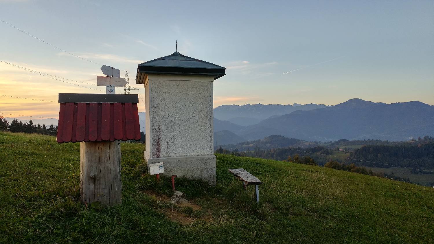
Trail description:Walk back towards the signs that will direct you along the road on the left. After about 10 metres, a track will branch off the road and you will climb up a grassy slope. After crossing the meadow, you will come back to the road. Turn left and follow the road to the first crossroads. Turn left off the road again and continue along the lesser gravel track. The path turns into a small wood and after about three minutes of walking it turns sharp right towards a larger house, past which you climb up a grassy slope. Here the path ends, and we cross the meadow and continue our way in the woods. After walking through the wood for a few minutes, it will end and we will find ourselves in front of a cattle pen. Cross the fence, walk down the meadow, cross another fence, cross a dirt road and cross another fence. Immediately after this fence, continue slightly to the left along a path which leads past a large building and immediately afterwards turns left into a large meadow. From here you will see a chapel with the stamp of the Slovenian Alpine Route. To get to it, turn left and cross the meadow. The official summit will be reached if we do not turn left here, but continue straight ahead, past a small wood and then slightly to the right along a path that leads us across the meadow and then back into the forest, where there is a larger concrete pillar pointing to Bevkov vrh.
Additional tips:No additional tips.
![[object Object] - [object Object] main photo](https://api.mountainsgeek.com/media/20180406_182808_USv57uM.jpg)


