



Planina Jezerca - Kriška planina (General)
0 h 20 min




 Weather
 Nearest webcam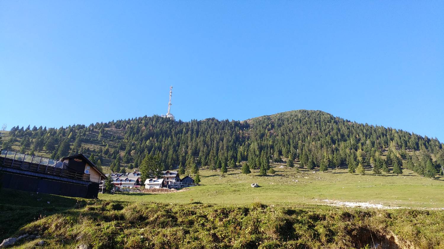
| Rating: | |
| Country: | Slovenia |
| Mountain range: | Kamnik-Savinja Alps |
| Trailhead: | Planina Jezerca (1410 m) |
| Destination: | Kriška planina (1480 m) |
| Trailhead latitude/longitude: | 46.2855 / 14.5314 |
| Destination latitude/longitude: | 46.293 / 14.537 |
| Difficulty: | Easy marked route  |
| Recommended equipment: | Water |
From Ljubljana, take the motorway towards Gorenjska and leave the motorway at the exit for Kamnik. From here on, follow the road leading to Vodice. After Vodice, continue on past Zgornji Brnik and Cerklje na Gorenjskem. When you reach the village of Grad, keep right at the fork and continue driving for a few hundred metres, when the road will branch off to the left and you will turn left. From here on, stick to the main road, which leads past Ambrož pod Krvavcem, all the way to the large car park on Planina Jezerca, which is just off the road.
Trail description:At the end of the car park, where there is a large signpost and signposts, take the road to the left, which leads you past the barrier. Walk along the dirt road and after about ten minutes you will come to a fork where there is a small wooden building. Turn right here and the path starts to climb a little steeper. After a moderate climb, you will reach Kriška planina after about ten minutes.
Additional tips:No additional tips.
![[object Object] - [object Object] main photo](https://api.mountainsgeek.com/media/20171101_122703_HDR_xfDwu75.jpg)


