



Suhadole - Debeli vrh nad Topolami (General)
0 h 30 min




 Weather
 Nearest webcam
| Rating: | |
| Country: | Slovenia |
| Mountain range: | The Polhograj Hills and Ljubljana |
| Trailhead: | Suhadole (331 m) |
| Destination: | Debeli vrh nad Topolami (446 m) |
| Trailhead latitude/longitude: | 46.1874 / 14.5478 |
| Destination latitude/longitude: | 46.176 / 14.5448 |
| Difficulty: | Easy unmarked route  |
| Recommended equipment: | Hiking shoes |
From Ljubljana, take the motorway towards Gorenjska and turn out at the exit for Vodice (Kamnik / Komenda / Smlednik). Continue driving to Žej near Komenda and turn right at the T-junction. Soon we will see the Petrol station in front of us, and just before it turn right again towards the village of Suhadole. In the village, park in the small parking lot by the church.
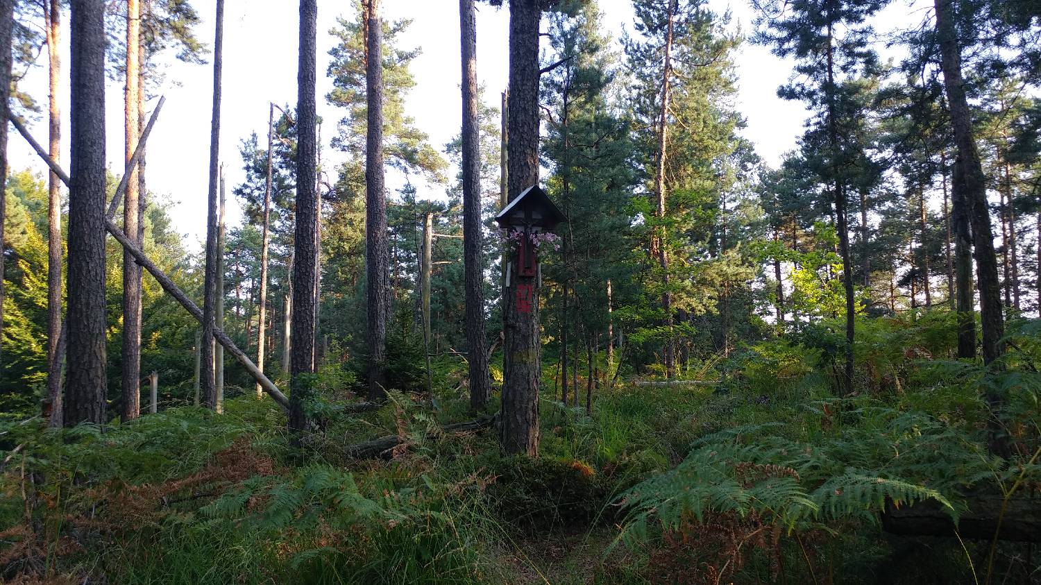
Trail description:From here, walk back in the direction you came from, but only as far as the first fork, where you turn right. From here, continue along the road, which will soon turn to gravel. The dirt road will lead you to a fork where you turn right, cross a stream and then turn left just after a bridge. Soon the path will lead us to a forest and with it to the next crossroads, where we turn left. The macadam road turns into a narrow forest path, and we follow it all the way to our destination, which is in the forest, which is also the reason why there is no better view.
Additional tips:No additional tips.


