



Legastja - Dom na Govejku (General)
Po cesti
1 h 0 min




 Weather
 Nearest webcam
| Rating: | |
| Country: | Slovenia |
| Mountain range: | The Polhograj Hills and Ljubljana |
| Trailhead: | Legastja (450 m) |
| Destination: | Dom na Govejku (734 m) |
| Trailhead latitude/longitude: | 46.1075 / 14.3499 |
| Destination latitude/longitude: | 46.1158 / 14.3459 |
| Difficulty: | Easy marked route  |
| Recommended equipment: | Hiking shoes |
Coming from Ljubljana, drive to Medvode and turn left at the semaphorised crossroads, located a few tens of metres further from the larger Spar centre. Continue along the main road, which will lead you to the village of Sora. From here, continue driving towards Topol, but only as far as the Legastja Inn, which is just off the road. Here you should pay attention, because after about 100 m there will be a small parking lot on the right side of the road where you can park.
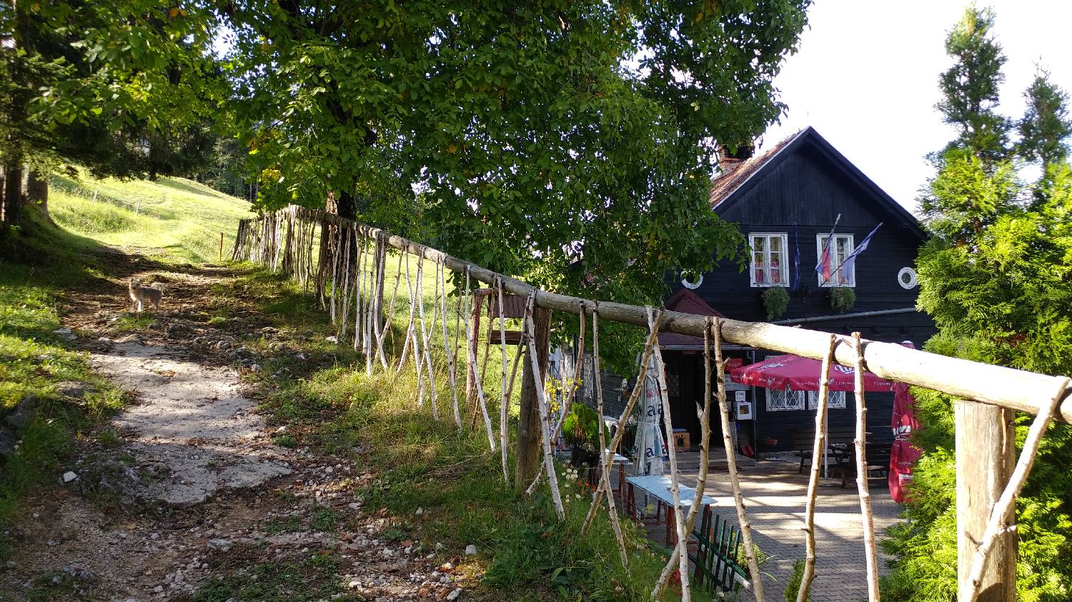
Trail description:From here we return to where we came from, but before the Legastja Inn we turn left onto a steeply ascending, less maintained track. We slowly climb up it until we reach our destination. The path passes through forest most of the time, but in some areas the forest breaks and we are treated to beautiful views.
Additional tips:No additional tips.
![[object Object] - [object Object] main photo](https://api.mountainsgeek.com/media/20180321_153831_HDR.jpg)
![[object Object] - [object Object] main photo](https://api.mountainsgeek.com/media/20180904_165424_BfEcyoM.jpg)


