



Vrzdenec - Gradišče nad Žažarjem (General)
0 h 45 min




 Weather
 Nearest webcam
| Rating: | |
| Country: | Slovenia |
| Mountain range: | The Polhograj Hills and Ljubljana |
| Trailhead: | Vrzdenec (341 m) |
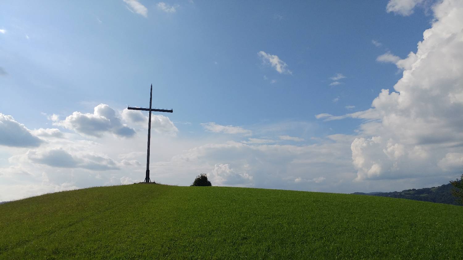
| Destination: | Gradišče nad Žažarjem (547 m) |
| Trailhead latitude/longitude: | 46.0191 / 14.2753 |
| Destination latitude/longitude: | 46.0054 / 14.2686 |
| Difficulty: | Easy unmarked route  |
| Recommended equipment: | Hiking shoes |
From Ljubljana, drive toward Horjul and from there continue toward the village of Vrzdenec. Once you reach the village, you’ll soon see a large gravel parking lot on your right, where you can park.
Trail description:We continue on foot along the sidewalk from where we came and turn right onto a side road at the second fork (the first leads toward Žažarje). We follow the road to the next fork, where we keep to the right. We continue along the road, crossing a small stream, passing an old hayrack, and crossing the stream again. Immediately after that, turn right onto an ascending road, which you follow almost to the last house. Just before it, a cart track branches off to the left; turn onto it. The cart track leads you to the edge of the forest, where there are three forks. We take the middle path and climb through the forest to a small meadow. We cross the meadow and continue back into the forest, where we reach another fork; here, we take the wider trail, which leads us back to the meadow. From here, all that’s left is to climb up a barely visible grassy path—crossing the cart track along the way—and we’ll reach our destination.
Additional tips:No additional tips.


