



Breginj - Muzec (General)
2 h 55 min




 Weather
 Nearest webcam
| Rating: | |
| Country: | Slovenia |
| Mountain range: | Julian Alps |
| Trailhead: | Breginj (576 m) |
| Destination: | Muzec (1612 m) |
| Trailhead latitude/longitude: | 46.262 / 13.4259 |
| Destination latitude/longitude: | 46.2873 / 13.4184 |
| Difficulty: | Easy marked route  |
| Recommended equipment: | Hiking poles Hiking shoes Water Snack |
From Tolmin, drive toward Kobarid and, once in the town center, head toward the Robič border crossing. Continue straight ahead on the road until you reach a roundabout, where you’ll take the second exit toward Staro Selo and Breginj. From there, continue straight along the road for a while until you reach Breginj. Park in the large parking lot across from the church.
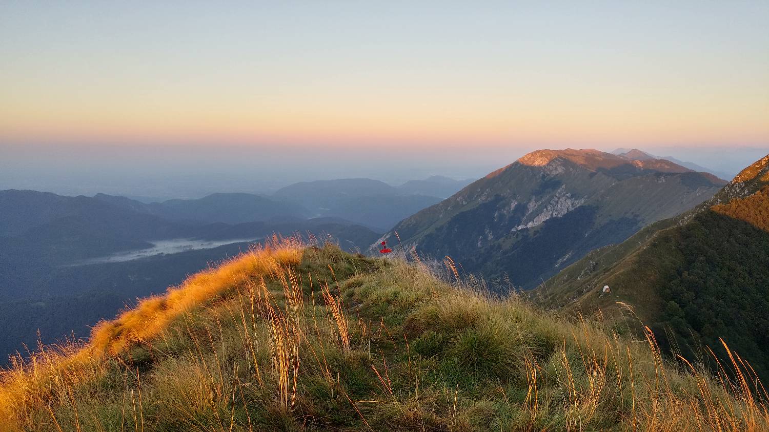
Trail description:From the parking lot, we head toward the road across from it and continue walking along the paved road, past the Grad bar. Shortly after that, the road turns into a gravel road, and you’ll soon spot a signpost pointing straight toward the Bivak pod Muzcem. The gravel road climbs moderately at first, then crosses a small stream, goes around a weekend cottage, and soon leads us to a narrow trail that branches off to the left. We turn onto the trail, which takes us uphill through the forest, where we come to another fork; here, we turn right, as indicated by the signpost. We continue walking through the forest for a short while longer, after which the trail emerges from the woods and crosses a short rocky section. Beyond the rocky section, the terrain becomes grassy, and we ascend along a narrow, increasingly steep trail almost to the top of the ridge. Just below the summit, we’ll reach another fork, where a signpost directs us to the right toward the summit of Muzca. From here, it’s only another 15 minutes until we reach our destination.
Additional tips:No additional tips.
![[object Object] - [object Object] main photo](https://api.mountainsgeek.com/media/20180909_064535_HDR_7csxEic_TVkY8NI.jpg)


