



Učja - Skutnik (Monte Guarda) (General)
Pot št. 733
3 h 30 min




 Weather
 Nearest webcam
| Rating: | |
| Country: | Slovenia |
| Mountain range: | Julian Alps |
| Trailhead: | Učja (655 m) |
| Destination: | Skutnik (Monte Guarda) (1721 m) |
| Trailhead latitude/longitude: | 46.3069 / 13.4027 |
| Destination latitude/longitude: | 46.3221 / 13.4387 |
| Difficulty: | Easy marked route  |
| Recommended equipment: | Hiking poles Hiking shoes Water Snack |
From Tolmin, head towards Bovec. When you reach the village of Žaga, pay attention, as you will soon be able to turn left towards Učja. From here on, drive along the narrower road for a longer distance, passing both border crossings. On the Italian side, you will reach the village of Učja, through which you will pass the sign for the cemetery, where you will also turn right. After a very short distance, you will see a chapel on the right and a parking lot.
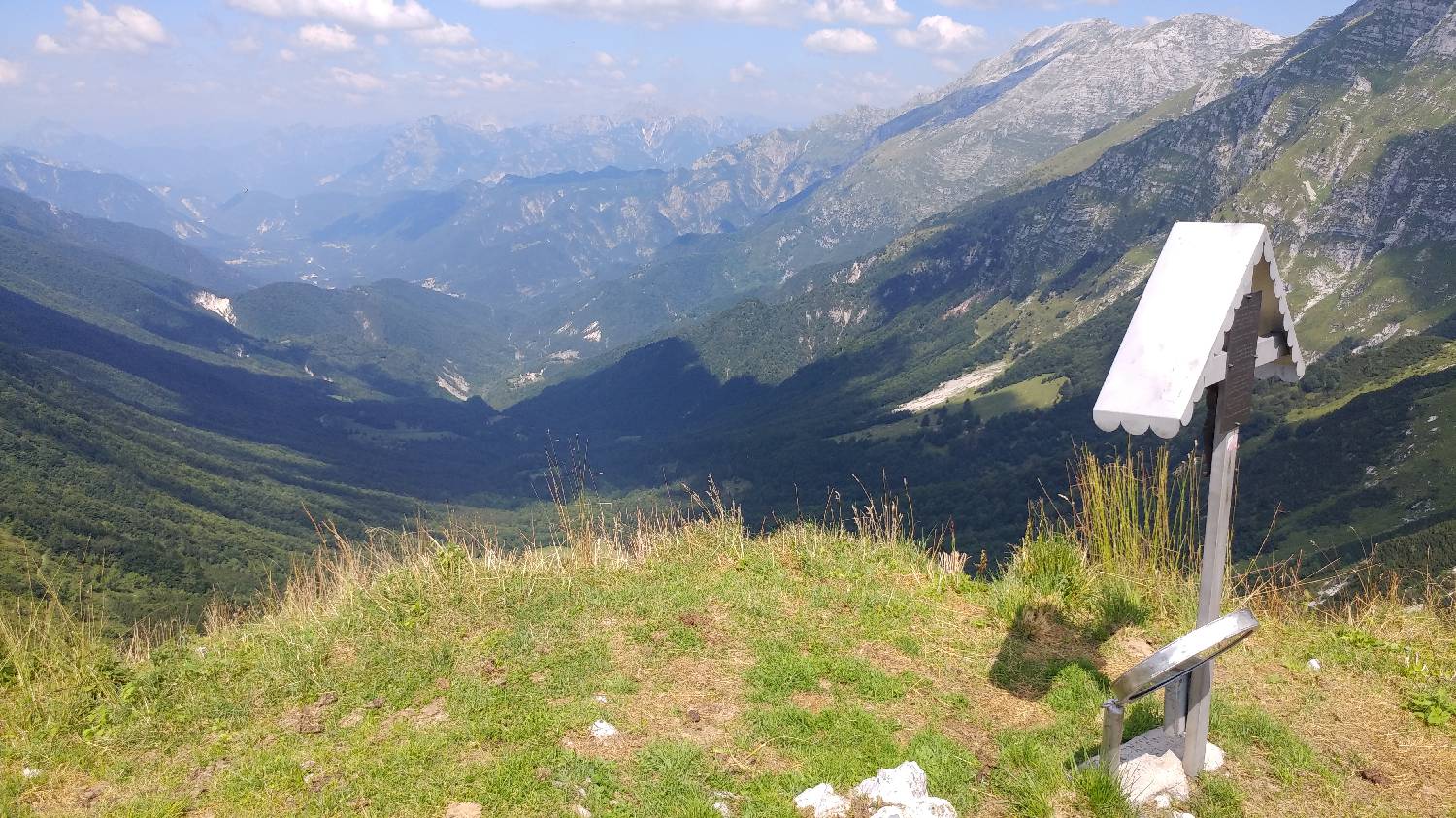
Trail description:Continue on foot along the road to a fork on the left, where a narrow path branches off. Climb up the lane and go around the dilapidated house. The track leads into the woods, through which you will climb for some time. In the meantime, we will pass stone houses in ruins. After a longer walk, the path will turn out of the forest and into a meadow, which will lead you through the meadow again for a longer distance. From here on, we will enjoy beautiful views of the high mountains. When we have climbed to the top of the ridge, where there is a signpost, we turn right and continue along the ridge for a short distance, which will lead us directly to Skutnik, which is located at the end of the ridge.
Additional tips:No additional tips.
![[object Object] - [object Object] main photo](https://api.mountainsgeek.com/media/20180804_114442_pGyP4mc.jpg)


