



Planinski dom Savica - Triglav (General)
Čez Triglavska jezera
8 h 45 min




 Weather
 Nearest webcam
| Rating: | |
| Country: | Slovenia |
| Mountain range: | Julian Alps |
| Trailhead: | Planinski dom Savica (653 m) |
| Destination: | Triglav (2864 m) |
| Trailhead latitude/longitude: | 46.2898 / 13.8022 |
| Destination latitude/longitude: | 46.3783 / 13.8366 |
| Difficulty: | Very difficult marked route  |
| Recommended equipment: | Hiking poles Hiking shoes Water Snack Helmet Self-protection kit |
From Ljubljana, take the motorway towards Gorenjska and exit at the Bohinj/Pokljuka/Bled exit. From here, continue along the road past Bled all the way to Bohinjska Bistrica, where you will head towards Lake Bohinj. Continue past the lake to the Savica Mountain Home, where you park.
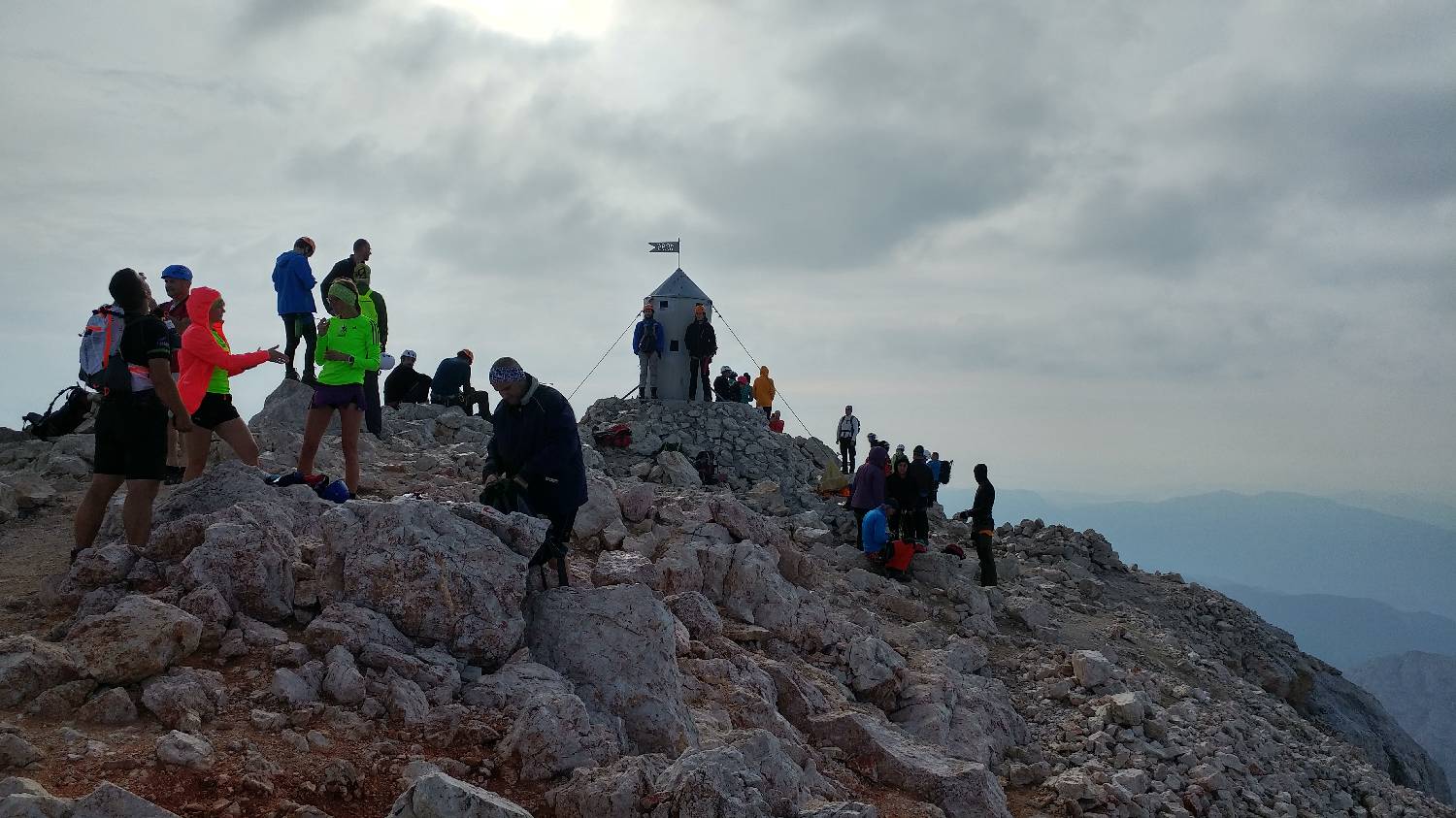
Trail description:From the car park, continue to the right towards the Black Lake and the Cottage at the Triglav Lakes. A dirt path leads over a small wooden bridge into the forest. After only a few hundred metres, a narrower path branches off to the left. The trail immediately starts to climb more easily and after about 20 minutes will lead to a crossroads. The path to the left leads to the Savica waterfall, but we choose the right and continue climbing along the increasingly ascending path, which is also becoming narrower and technically a little more difficult. It also becomes slightly more dangerous in the last part of the climb. When you reach the end of the climb, you will have a wonderful view of the valley and the Savica Mountain Home. Here the path completely lays down and leads us to one of the Triglav Lakes, which we pass on the left hand side. From here on, we continue for a longer time along a relatively flat path through the spruce forest. When the forest ends, a vast meadow opens up in front of us, with the beautiful Double Lake and the Cottage at the Triglav Lakes. Continue to the right behind the hut on a narrow path, which is still mostly sloping. All the time, the Julian Highlands and their magnificent views are on either side of us. After a longer walk, the forest and meadows are replaced by rocks, which hide another Triglav lake - Ledvice. We go around it on the right side, then the path starts to climb more moderately and after about 30 minutes of walking it leads us to another Triglav lake, this time smaller and not distinct. From here, we ascend to the right on a steeper climbing path, which takes us relatively quickly up to Hribarice. This is an area covered in rocks and stones, surrounded on all sides by rocky highlands. A good half-hour's walk on such terrain follows, after which we will come to a steeper descent on a rough track, which, after the descent, will lay down and soon lead us to the Huts na Doliču. Continue past the hut, to the right, towards Triglav. There is a steep, winding climb and after about 15 minutes the hut will be just a small dot. The trail lays down again and leads us over a rocky area to a more difficult part, at first also protected by snowdrifts. From here on, the path becomes steeper and narrower and requires a great deal of caution. After about an hour of climbing, we will just reach Triglav.
Additional tips:No additional tips.
![[object Object] - [object Object] main photo](https://api.mountainsgeek.com/media/20180729_072754.jpg)
![[object Object] - [object Object] main photo](https://api.mountainsgeek.com/media/20180729_064309_HDR_HPzzRHc.jpg)


